We like Canada, don’t we? We’re not only neighbors, we’re friends. (At least I think we still are, though recent political trends have caused some strain.) And we share a continent! So I was glad to get to know it better during our recent Lake Superior Circle Tour. This is Pt. 2 of my first journey around Gitchee Gumee. Or Gami, as said in Canada. Either way, it’s the Ojibwa term for Lake Superior. Another thing we have in common… the indigenous history.
As we traveled the sparsely-populated north shore, I reflected on Canada’s role in my life. I grew up across the lake from it, in Michigan’s Upper Peninsula (U.P.) Our “Yooper” accent is said to be influenced by it, especially the flat vowels — “about” is “aboot” and “creek” is “crick.” As kids, we spent Canadian quarters as freely as U.S. ones. Some distant relatives live there. Some of my best downhill skiing was done there. Yep, I like Canada. So it was a shock to learn, pretty late in life, that Canada once invaded the U.S. Not only that, we invaded it! It was a long time ago, but still. A shock.
We share the longest international border in the world, so thank goodness we’re allies now. We have ten times their population (327 million to their 37 million) although the size of our countries is nearly equal. So we’re “the big guys on the continent.” I hope we never become the “neighborhood bully” because we need them–for trade, security, and the freedom to travel around our beautiful shared lake. To read more about that travel, see photos below. (To read Pt. 1 of the journey, click here. To learn more about Canada/U.S. relations, click here.)
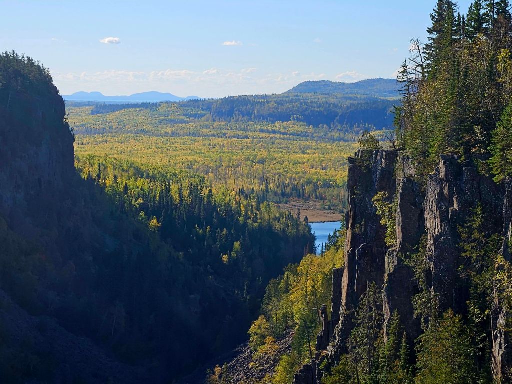
We spent night #6 of our tour-by-truck-camper at a well-run family campground called Latibule, then made the short drive to Ouimet Canyon, 330 feet deep. Short hikes took us to viewing platforms for these breath-taking views.
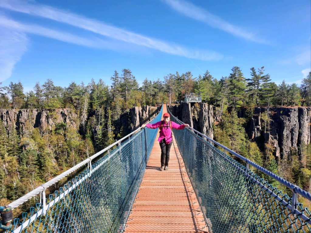
Not far from Ouimet, Eagle Canyon offered “Canada’s longest suspension bridge.” Even though it was very sturdy, we could feel a slight sway while crossing. It cost $20USD to cross (and enjoy the trails), and worth it in my opinion although some disagree. I guess you have to like heights.
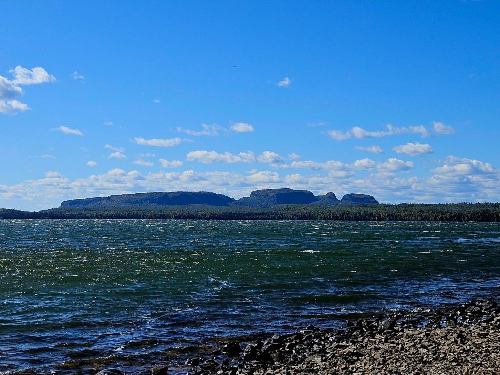
On to Sleeping Giant Provincial Park! See the head on the right end, arms crossed across the chest, the long body? We’ve seen this from Isle Royale but never from Canada, so it was a must-see for us. Since we were on a sightseeing trek, we also took a side trip to…
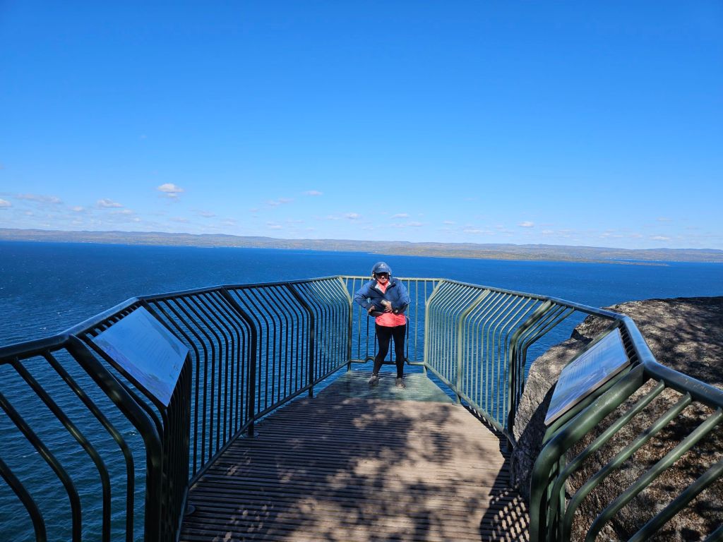
…the Thunder Bay overlook. This immovable platform juts out 90 feet (I think) above Lake Superior. The wind whipped. It was unnerving, even for height-lovers like me, but wow! The road here is narrow and sometimes bumpy, so only solid vehicles should attempt it.
Also at Sleeping Giant, the must-see Sea Lion. Looks more like a sea horse to me!
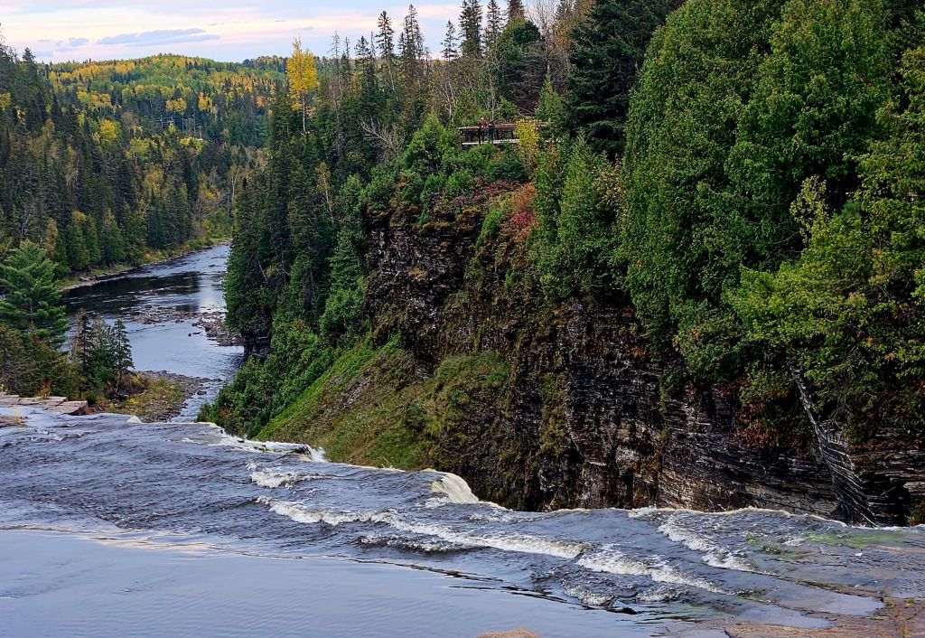
We spent night #7 at Kakabeka Falls, called “Niagara of the North,” which drops 150 feet. This is the view from the top of the falls rather than the usual straight-on view.
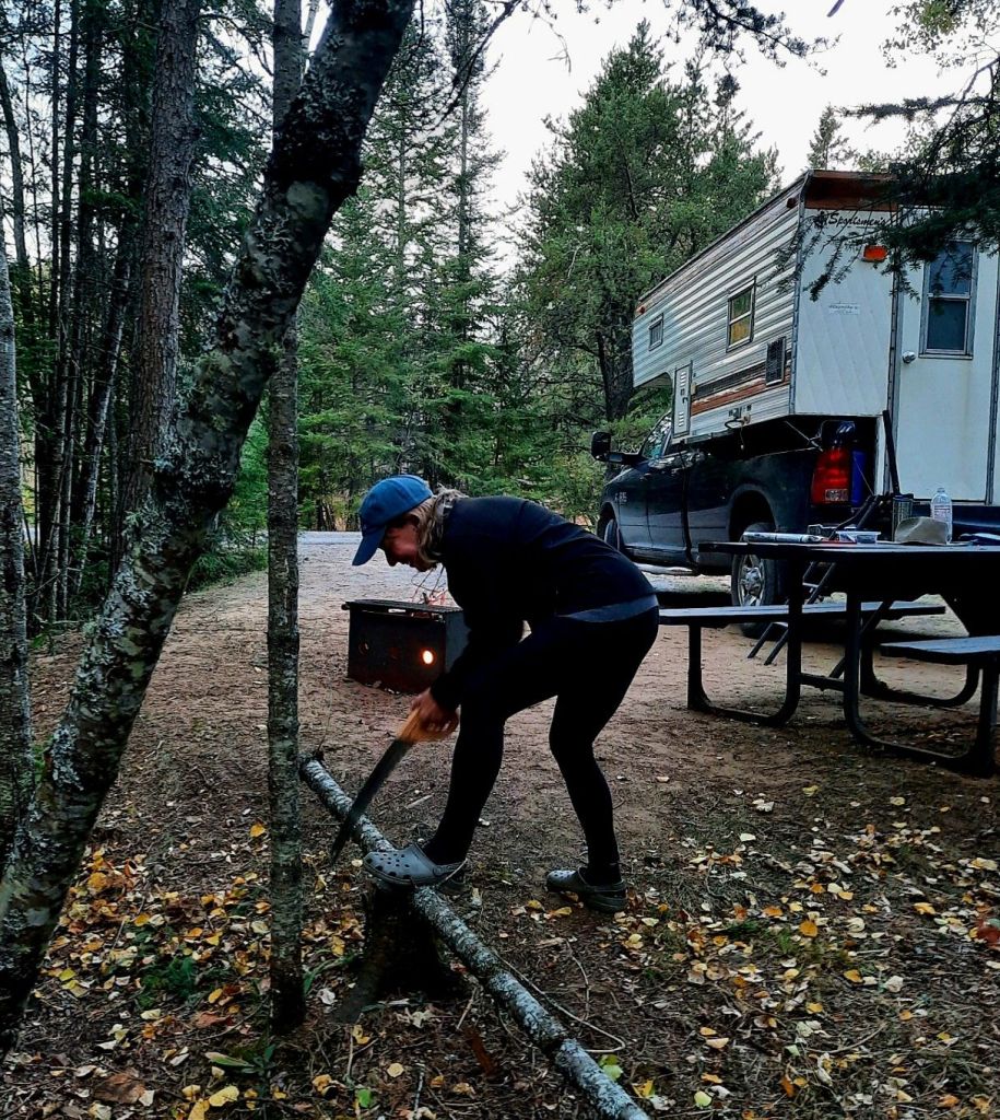
We enjoyed our quiet campsite there. I helped to cut firewood, though Jeff is much more efficient at it than I am. As with most outdoor tasks. But I do enjoy them.
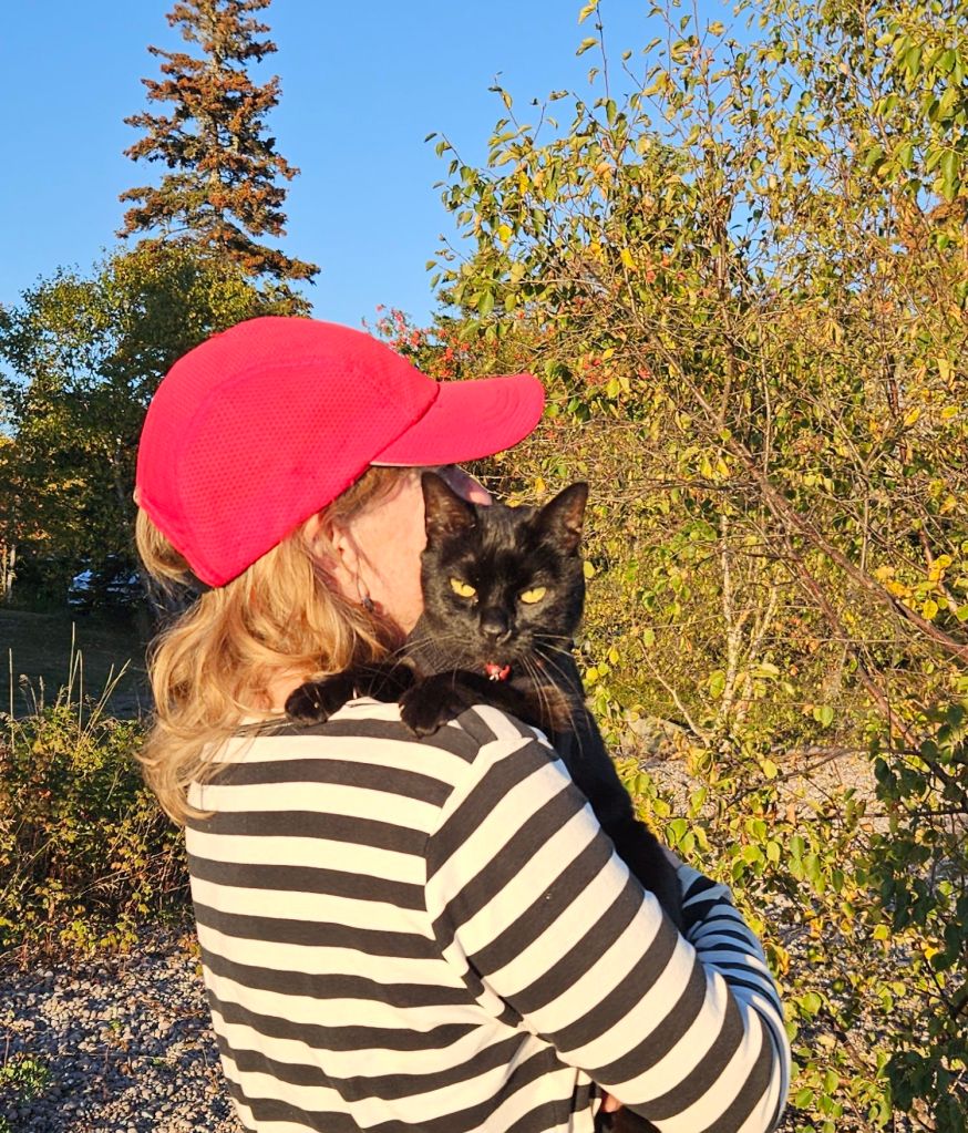
Boo had become impatient with walking-by-leash by this time, so I often took her for walks on my shoulder. She loves it up there and never struggles to jump down.
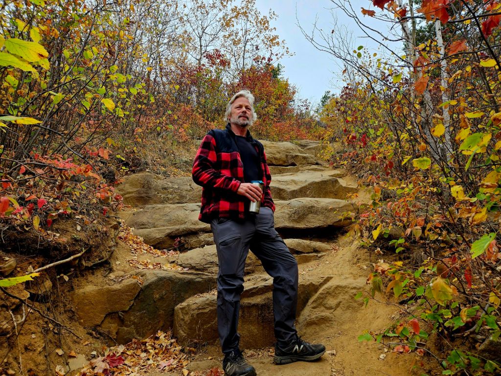
On our way out of Canada, we stopped to hike up Mt. McKay which is on indigenous land. The trail was steep but big rocks like this made it easier. You can tell the weather had turned cold, as Jeff is wearing pants and shoes…unusual for him. (He spends all summer in shorts and crocs.)
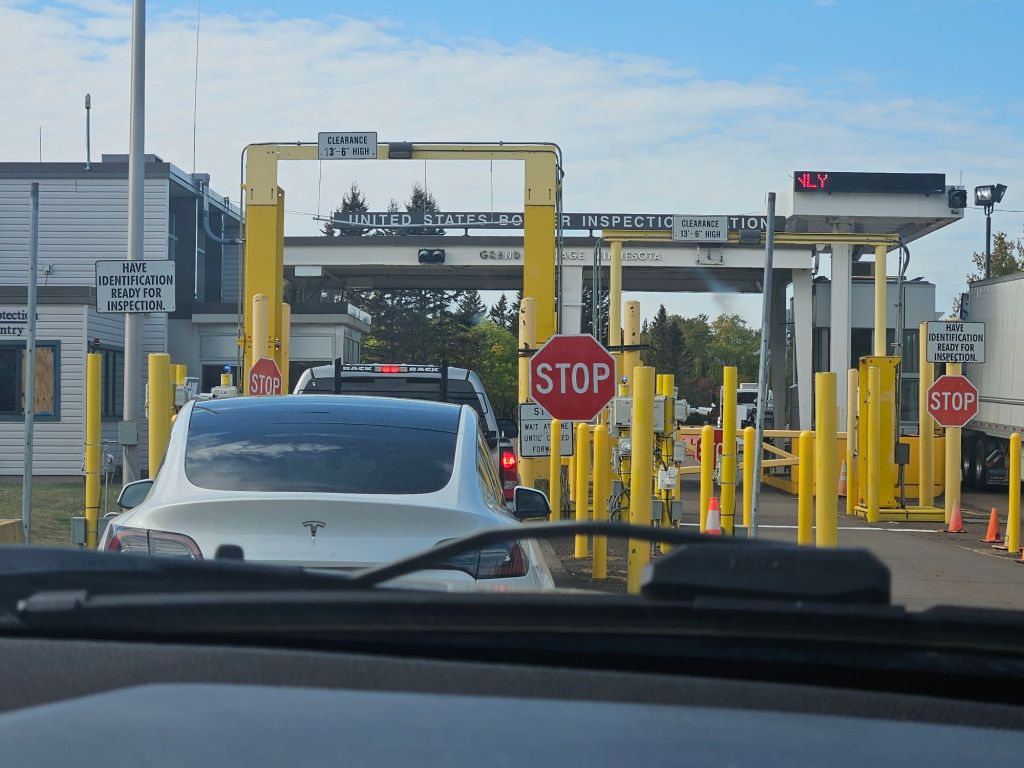
After McKay, we crossed the border back into the U.S. It was a breeze compared to doing it by air. I remember flying to Canada a few years after 9/11. Entering Canada was easy. Re-entering the U.S….not so much, even for federal employees like me.
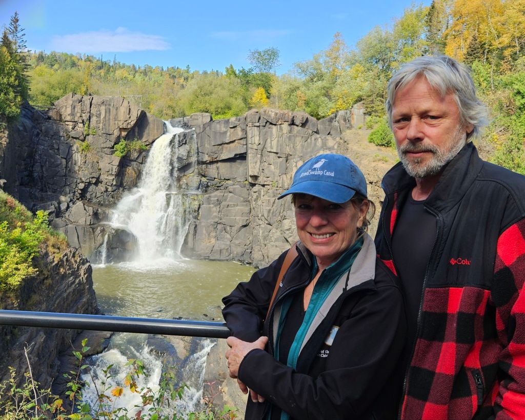
Right after the border, we stopped at High Falls of the Pigeon River in Grand Portage State Park in Minnesota. (Is it possible to get waterfall-overload?) We spent night #8 in a forgettable RV park just south of here.
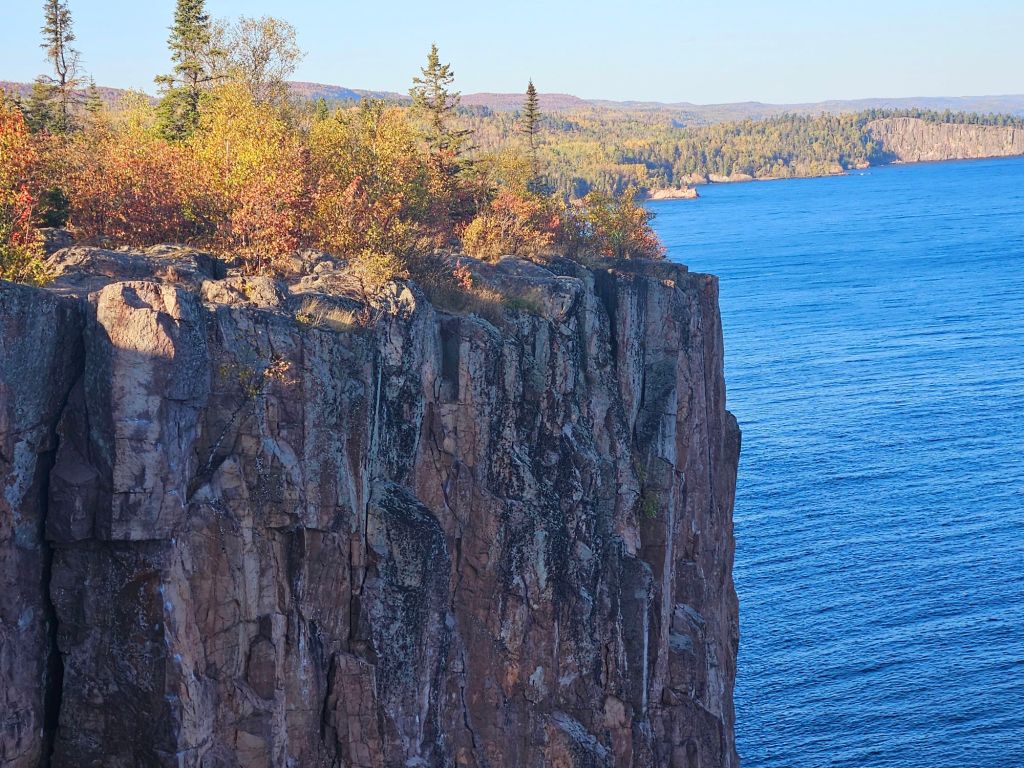
Then on to Palisade Head. More “wow.” We heard that it’s sometimes not accessible by car due to road closure, and the parking lot is often full, but we had no such issues.
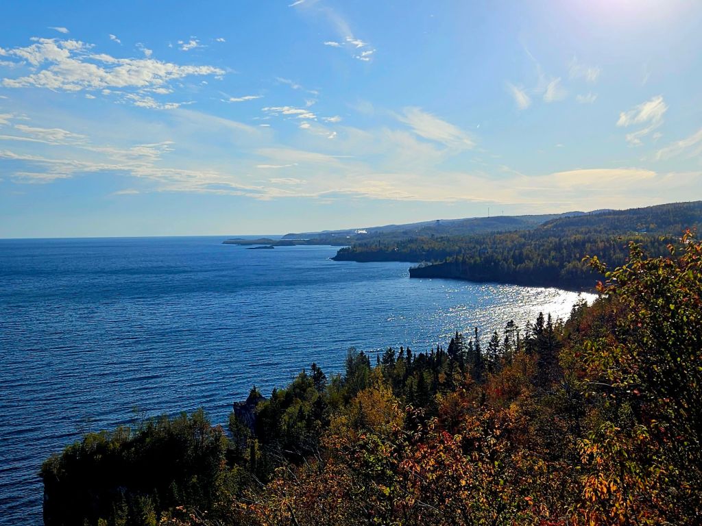
The view south from Palisade Head. Minnesota’s North Shore…gorgeous!
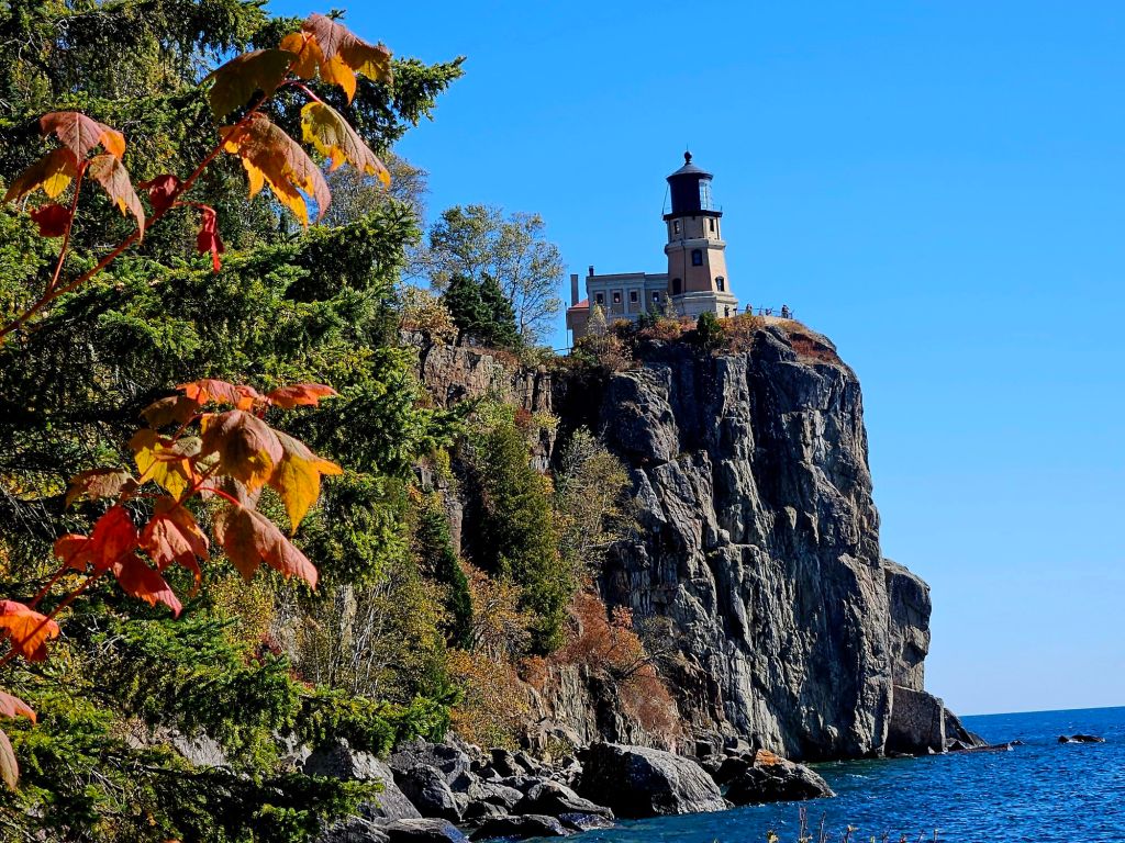
When you’re doing a well-defined tourist route, you stop at most of the main sights, right? One of those is Split Rock Lighthouse. After visiting the superb visitor’s center, we took the steps down to shore to get the best view…
…and boy, did we ever. You can see why it’s the most photographed lighthouse in Minnesota. We spent night #9 at the new campground here…very clean and convenient. This is a busy tourist site, so it’s helpful to arrive at the visitor’s center as it opens. (Which we did.)
You know you’re in Minnesota when you see these signs, on our way to…
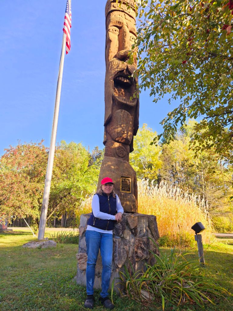
…Finland! A tiny town in Minnesota settled by Finns. I’m 100% Finn by DNA so had to make this 7-mile jaunt off the highway, especially to see the wooden statue of the (made-up) Saint Urho, who chased the frogs out to save the vineyards. (There are no vineyards in Finland.) The silly holiday of St. Urho’s Day began here and I’ve held many parties to celebrate it, using a photo of this statue on my invitation. Finns may be dour, but Finnish-Americans know how to have fun! 😉
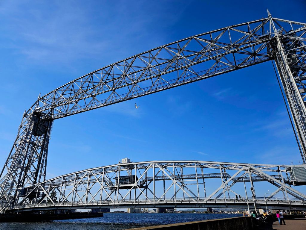
And then, Duluth with its famous aerial bridge. I have relatives in Duluth and visited a lot as a kid but never really explored its waterfront. Formerly very industrial, it’s been improved a lot.
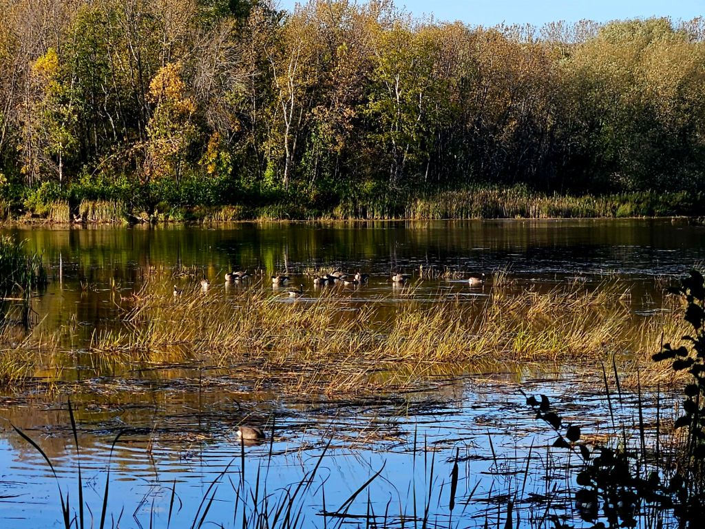
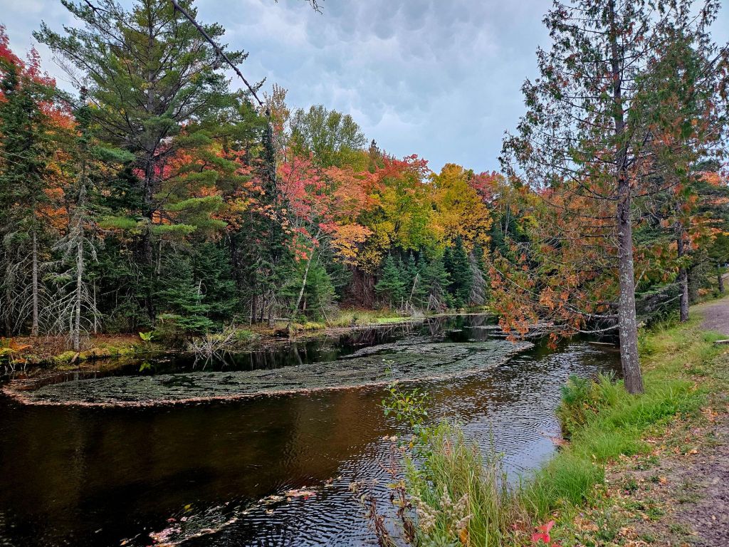
A tip from a local friend sent us to a riverfront campground near Duluth which featured Canada geese (just don’t call them “Canadian geese” 😉 ) next to a wild rice restoration project.
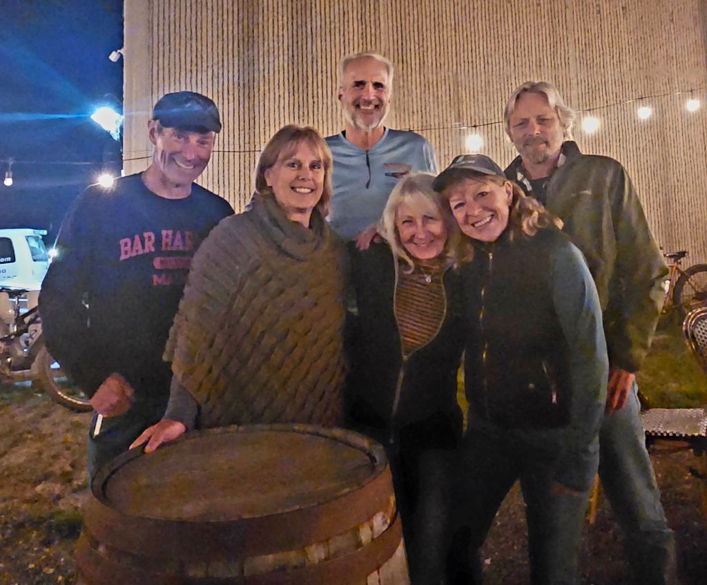
The highlight of night #10 in Duluth was a reunion with two couples we met (and sometimes traveled with) while doing The Great Loop: Greg and Kay from Superior Passage and Bob and Diane from Soul Mate. When you share a boating adventure like that, you make lifelong friends. Leaving Duluth, we headed for the Apostle Islands National Lakeshore and Bayfield (Wisc.), which was very busy with the annual apple festival, so we passed through to get to…
..our last night on the road, in another place I remember from childhood but needed to see again. (It’s been a joy to revisit special places close to home after doing so much overseas travel.) We found a private hide-away for the truck camper, near…
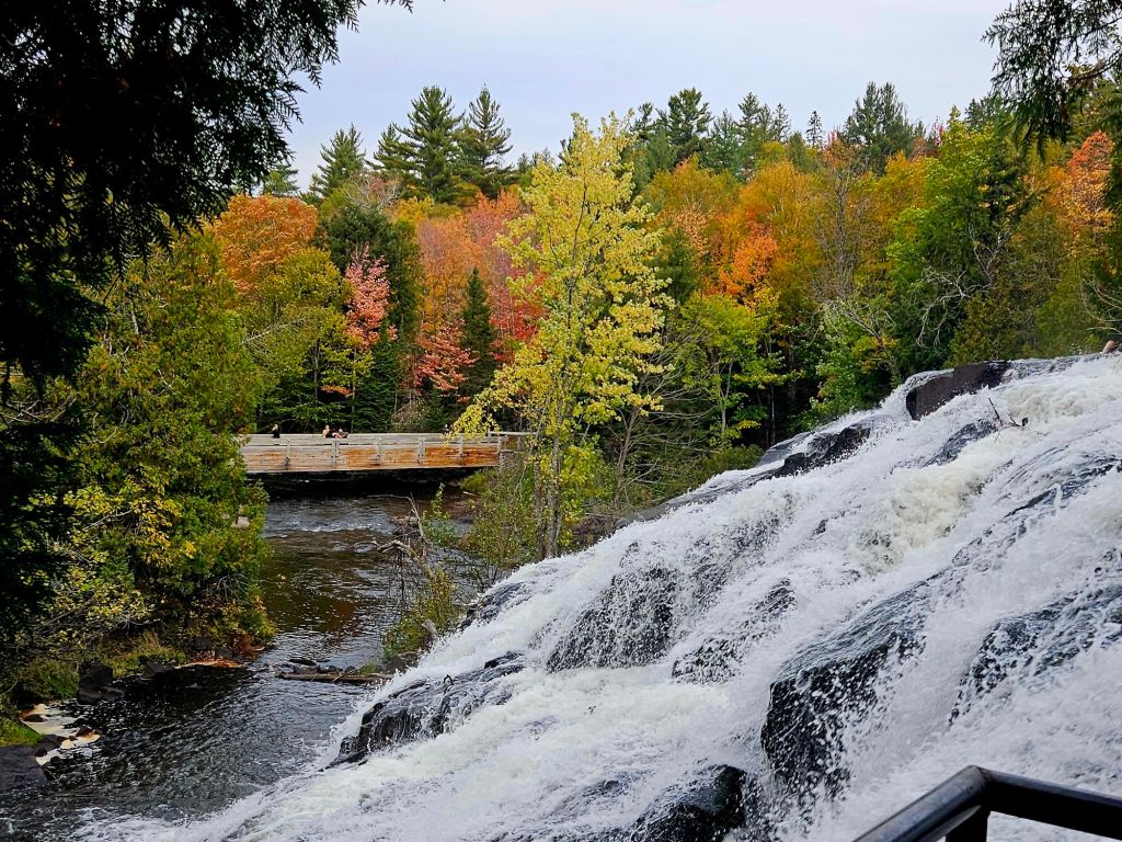
…Bond Falls, 100 feet wide with a 50-foot drop, only an hour or so from home on the south branch of the Ontonagon River. My dad grew up near here and played in this river. The adjacent state park offers well-constructed walkways and some fun rugged trails.
And fall colors, at last! They always show up earliest inland, vs. on the water where we live.
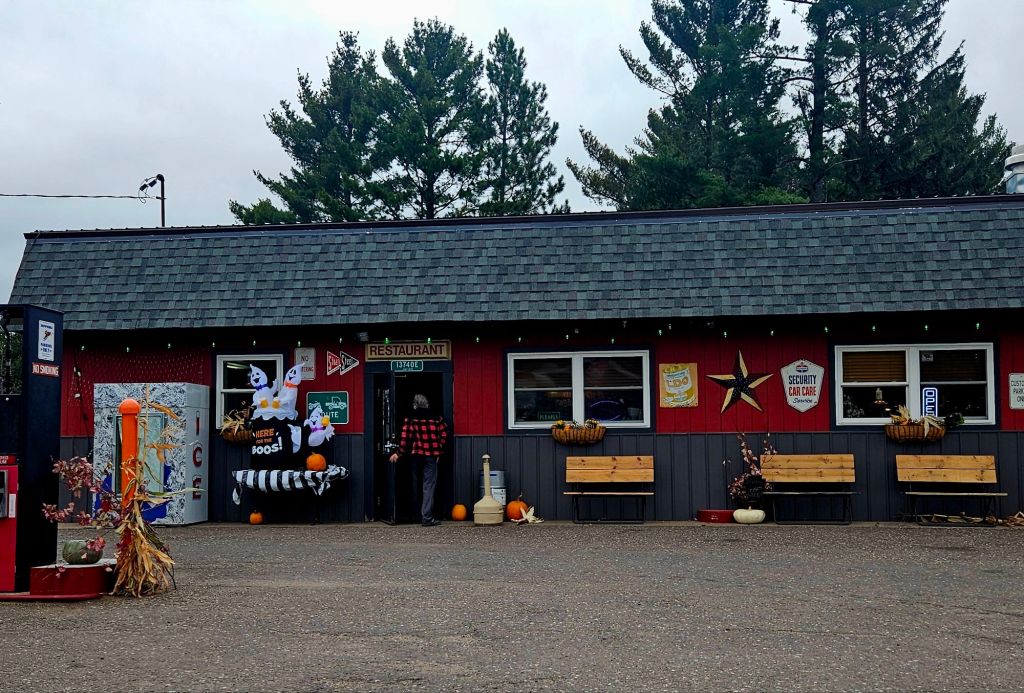
On the final leg, we ate chili for breakfast at this quirky roadside place. (It’s not cost-effective to serve breakfast food, she said, and I get it. The guy next to us was drinking beer for breakfast.)
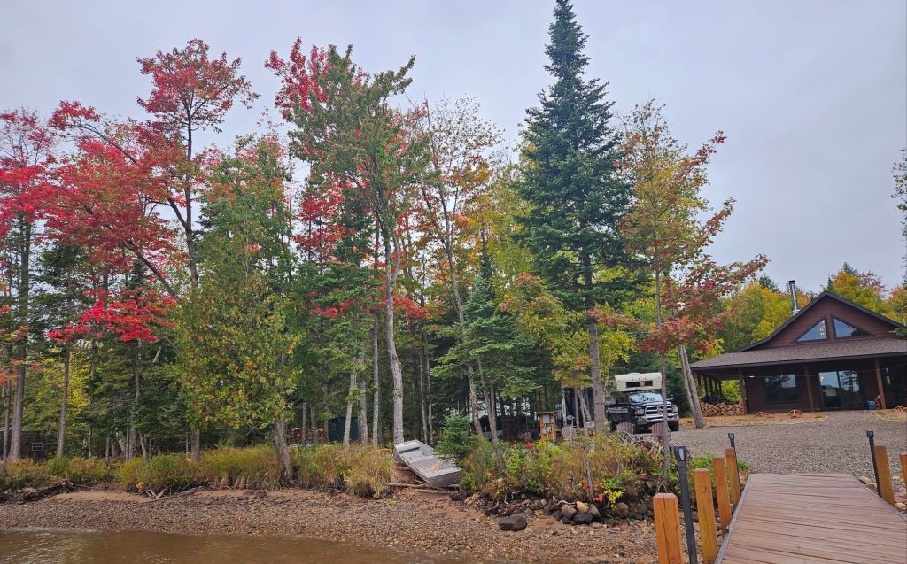
Back to camp-sweet-camp. (It’s not my permanent home, so remains “camp.”) Strange to return to a just-completed house that doesn’t yet feel like a home. I’m working now on just enjoying it, which is harder than it sounds after 15 months of intense work. (It was largely a DIY project.) The first thing I did, even before unpacking, was walk the grounds…my favorite thing to do. I noticed the wide view now that the trailer is moved off the waterfront. That the water was still low and the maples had turned red. That we need to get the dog back, because it looks empty without him. That I’m better at moving, working, and traveling, than I am sitting still! I need my writer’s studio on that waterfront in order to return to reflection mode. It’ll come…
Bottom line: the tour is well worth doing at least once. Just like The Great Loop, there’s so much we missed and places I’d like to spend more time. Next time, I’ll do a little more planning. How odd to say that, as I was once an expert planner (which is not the same thing as being rigid). Jeff’s “just go” approach has influenced me, and it has value, too. But you do miss special things–like Pukaskwa National Park. Next time!
The biggest (about the size of Austria), coldest (averaging 40 degrees F) and deepest (up to 1,330 feet) lake in the world, shared by two countries. Worth going around! And then doing it again.