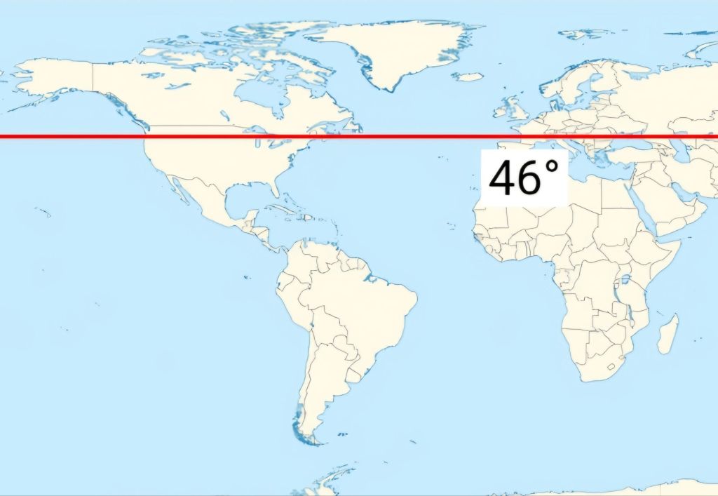
In a northern climate, you get the full range of seasons as changes in the tilt and orbit of Earth brings changes in the amount and angle of sunlight. This shows up most dramatically in fall. And what a glorious fall it’s been here on the 46th parallel in Michigan’s Upper Peninsula. A photo tour of late-September through mid-October follows.
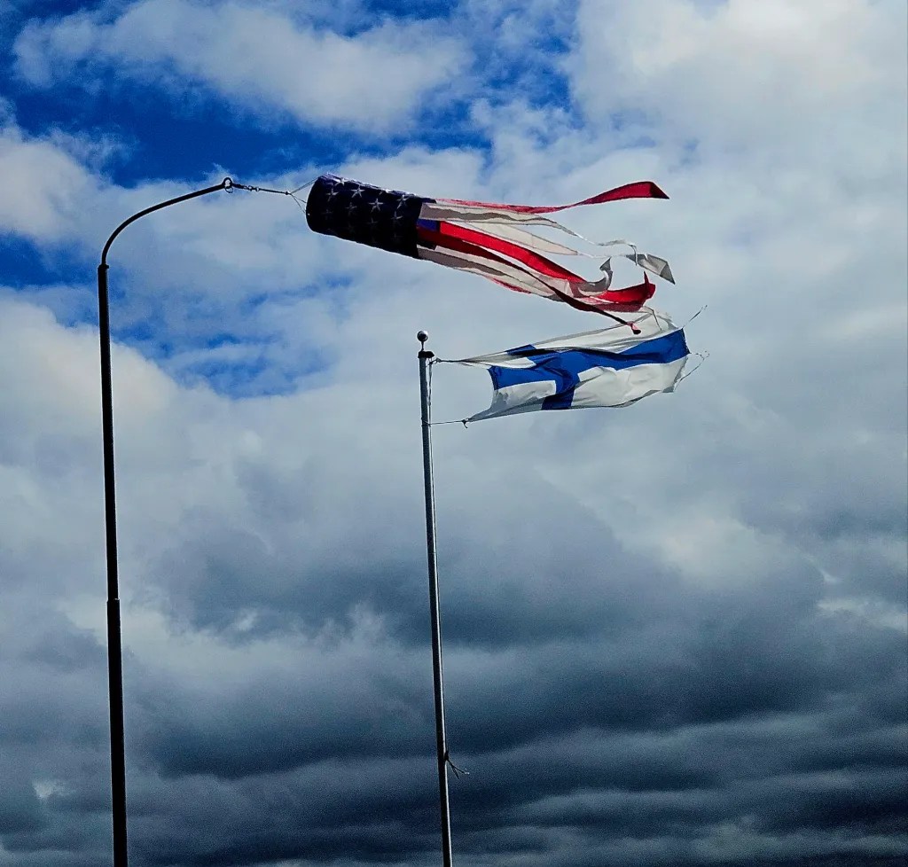
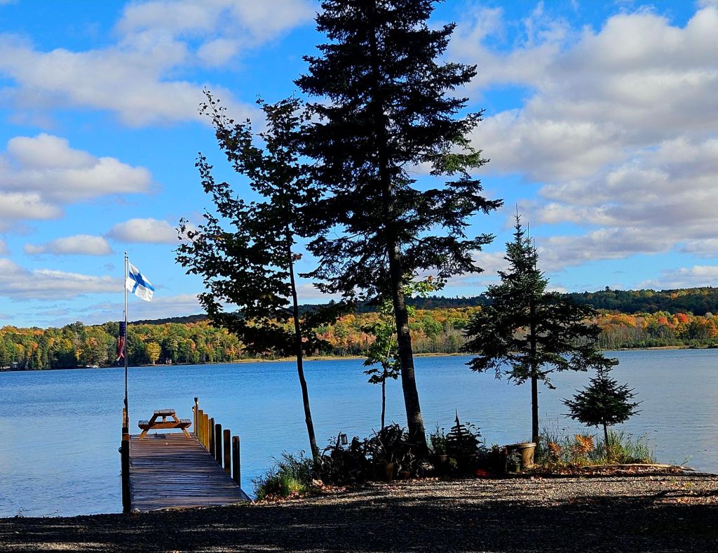
On Sept. 22 at Camp Many Moons on Huron bay, a brisk wind and low clouds hinted at the coming October weather. But not yet.
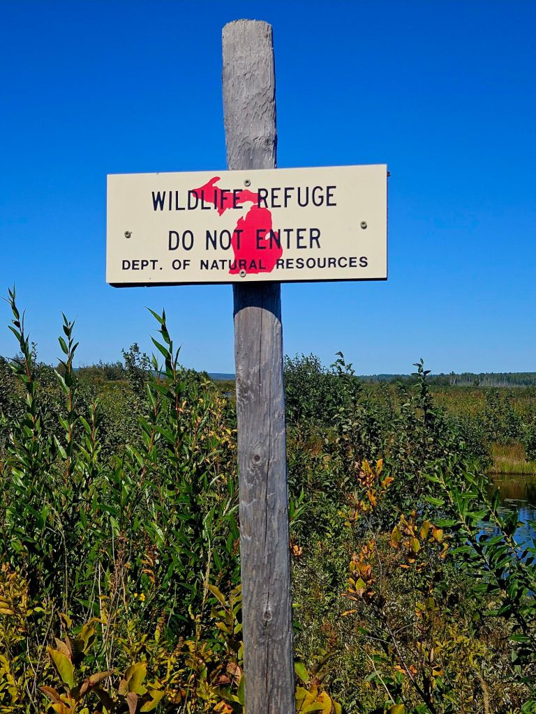
On Sept. 23, a hike at a wildlife refuge hinted at coming color changes. Notice the red map of Michigan’s two parts. The lower peninsula is called “the mitten,” and you can see why. I live above the “I” in “Wildlife.” It takes more than eight hours to drive through this state. It’s a big one!
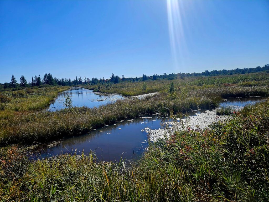
The Sturgeon Sloughs Marsh is a peaceful place to walk, in any season.
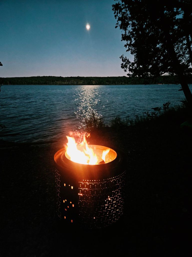
The evening following that marsh hike, the rising moon…! One thing I dislike about fall is the rapidly-shortening days. (And knowing the grey months are coming before the beauty of mid-winter.)
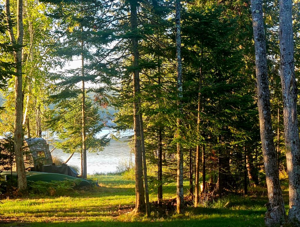
On Sept. 25, the rising sun lit up the woods at Camp Many Moons. Colors weren’t showing here, but I knew they were arriving further inland, so I went in search of them….
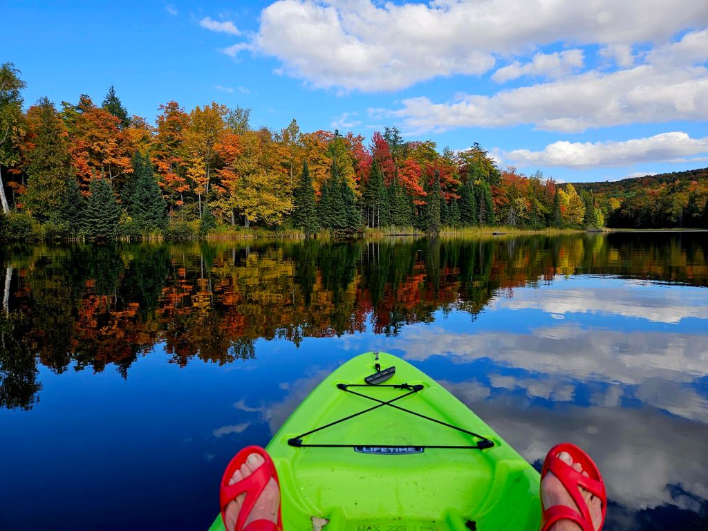
…and found them at Lake Plumbago, a small lake less than an hour away but at higher elevation. The day after this outing, it was time for…
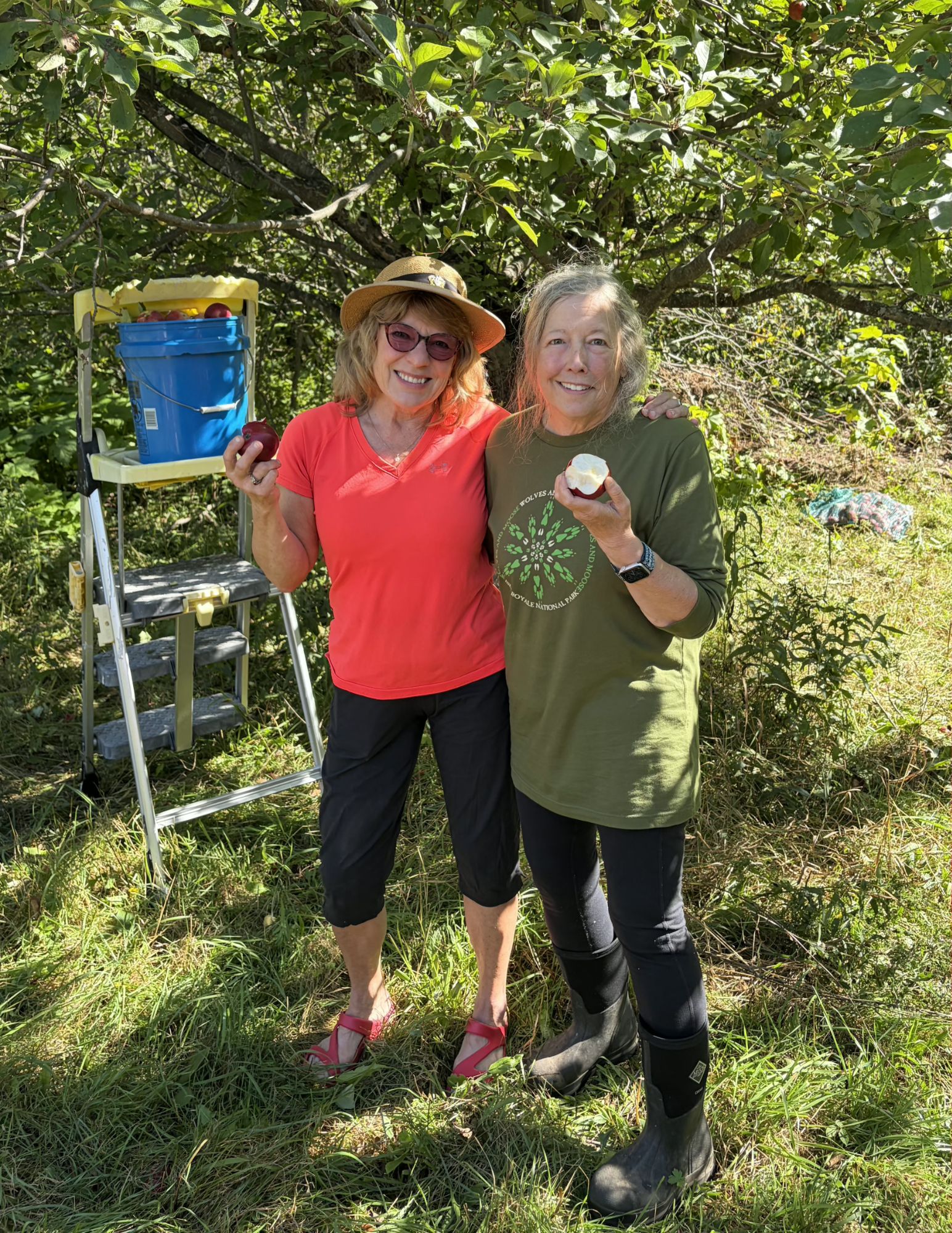
…apple picking! I’ve been wanting to do this autumn ritual for years and was hosted by my high school classmate Gretchen, who opened up her orchards to friends.
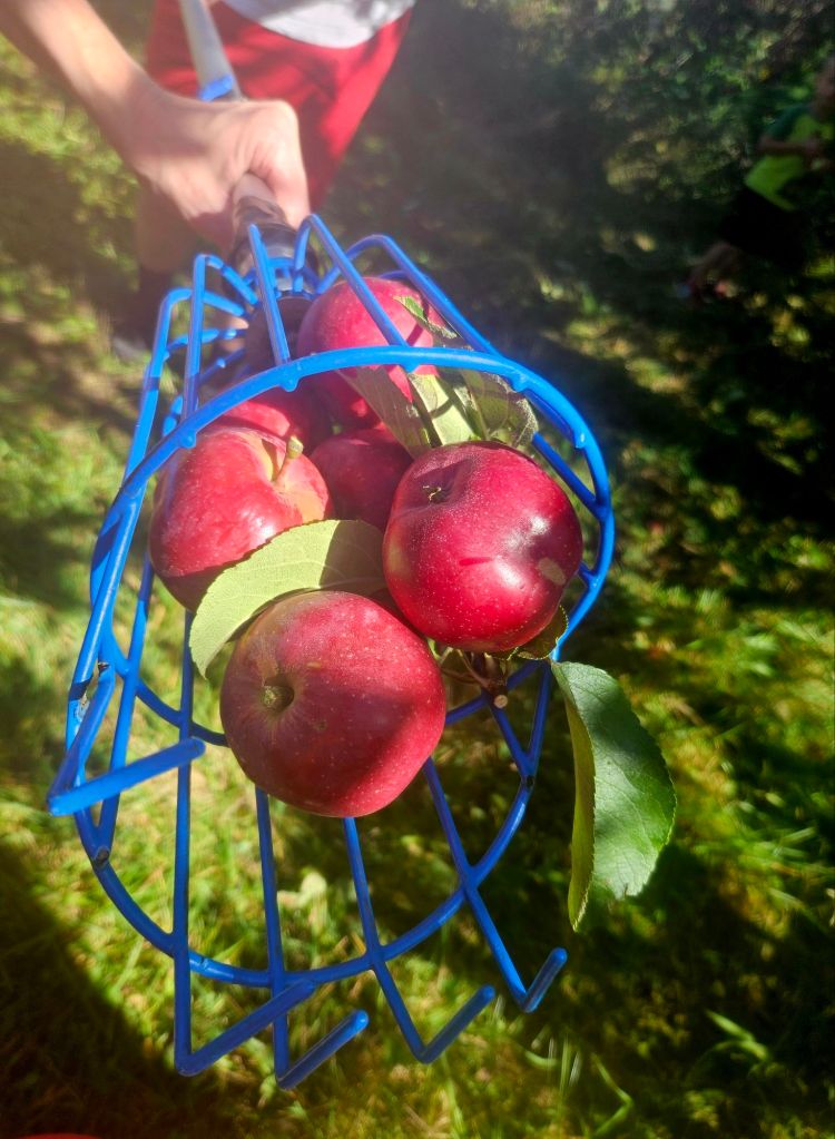
This handy tool makes it easy to pull the apples from the branch.
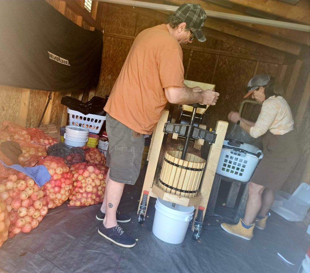
She has a tool that some pickers used to squeeze apples on-site. But me…
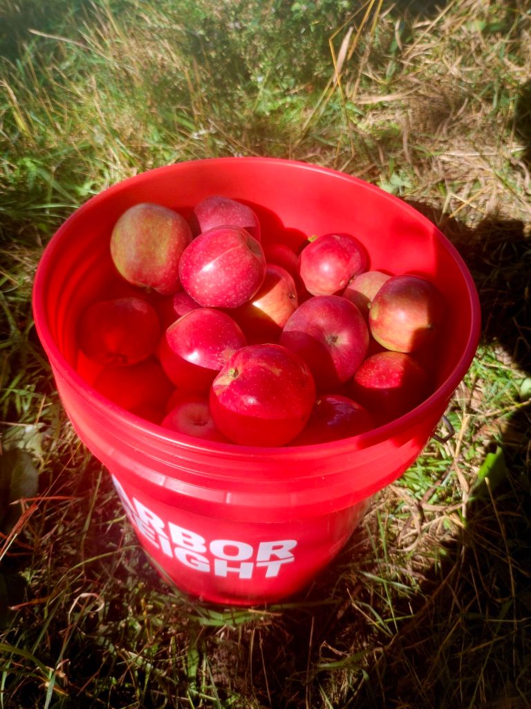
…I took home my bucket-full of apples that I picked myself — which is important for some reason — to make apple crisp and other treats. I made sure my company knew that I picked them! Hehe.
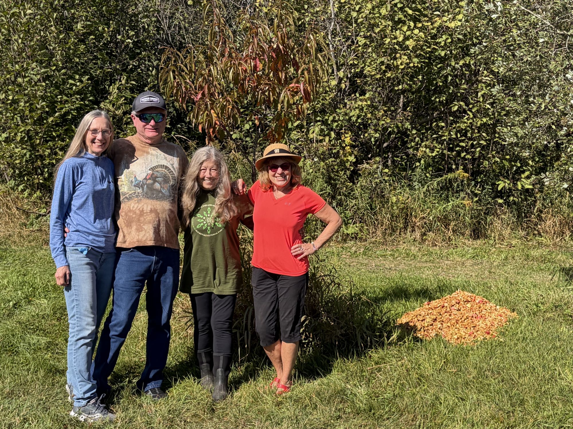
Another unexpected delight that day — two other classmates were there. We had just celebrated our 50th high school reunion, and I was still all aglow at the warmth of that event.
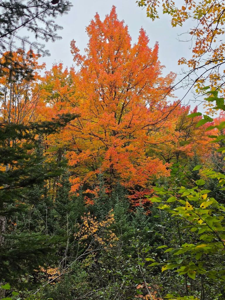
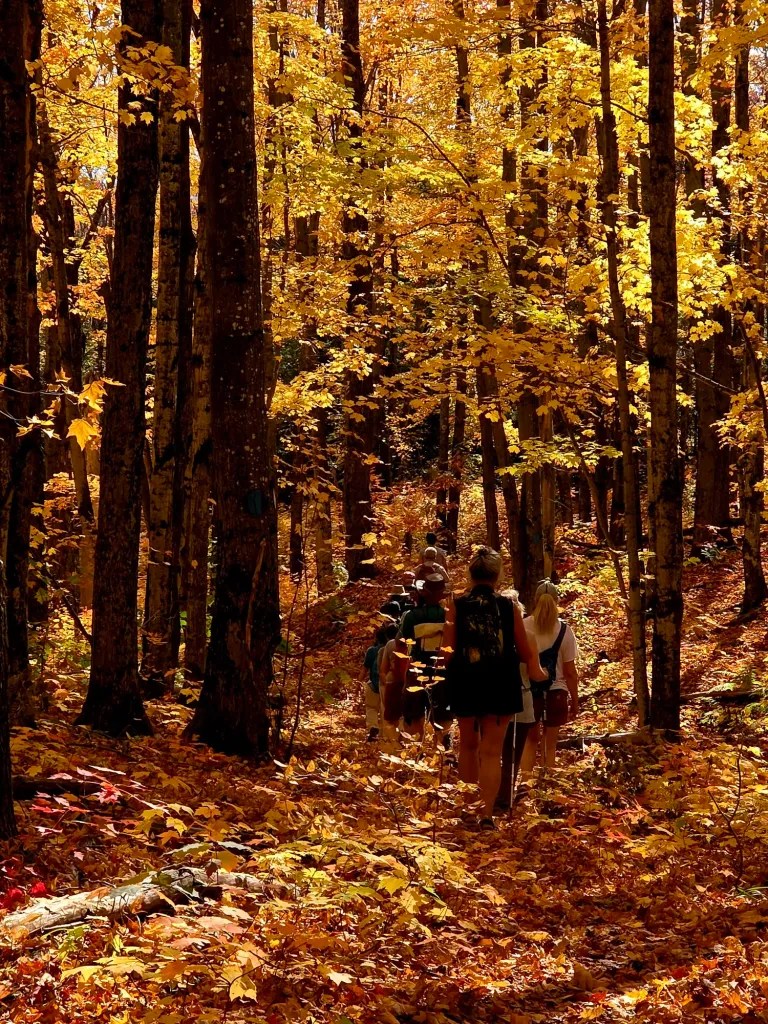
When the weather is fine on the 46th parallel, you don’t waste it. So the day after the apple-picking (Sept. 27), I joined the Sunday hiking group for a trek in the woods of the western Upper Peninsula. Further inland, colors were turning.
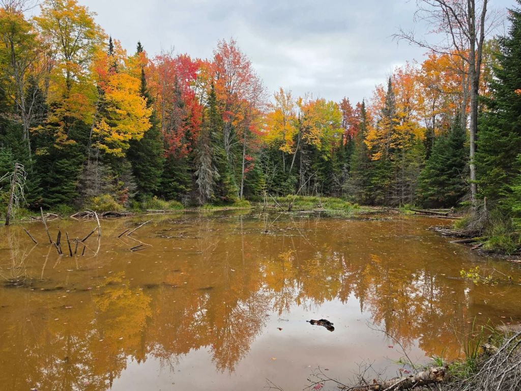
We passed a huge beaver dam, surrounded by those emerging colors.
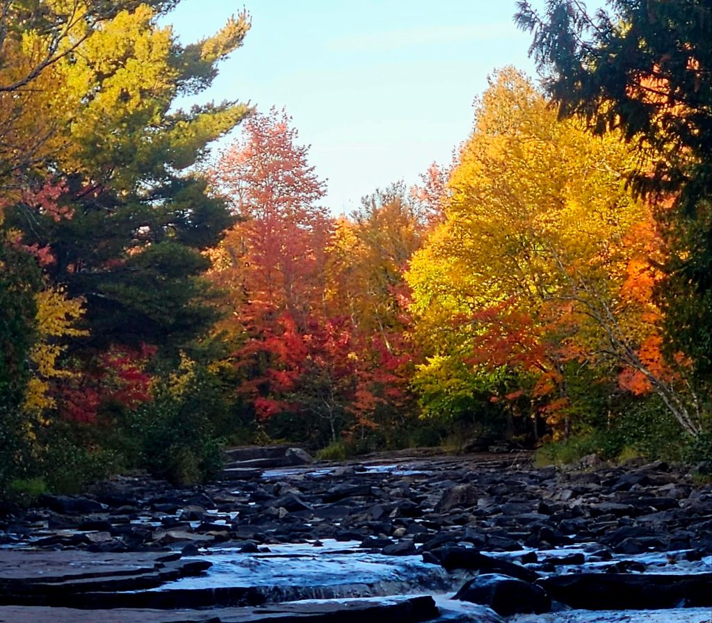
When you live up here during a “good color season,” you follow the peak…which means, start inland or higher up, and move toward sea level and the waterfront as the days pass. So the day after the inland wooded hike, I headed “up”…to Canyon Falls, less than an hour away. I got there late in the day. The sun was low, and the water level was low also…
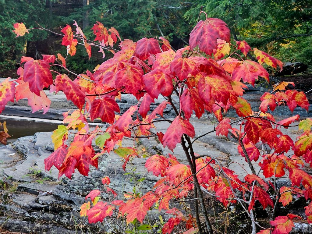
…but the colors announced themselves! I did a three-mile walk here. You can go much farther on this trail network–all the way to North Dakota!–but most people do much less, since the big attraction (the waterfalls) is not far from the highway.
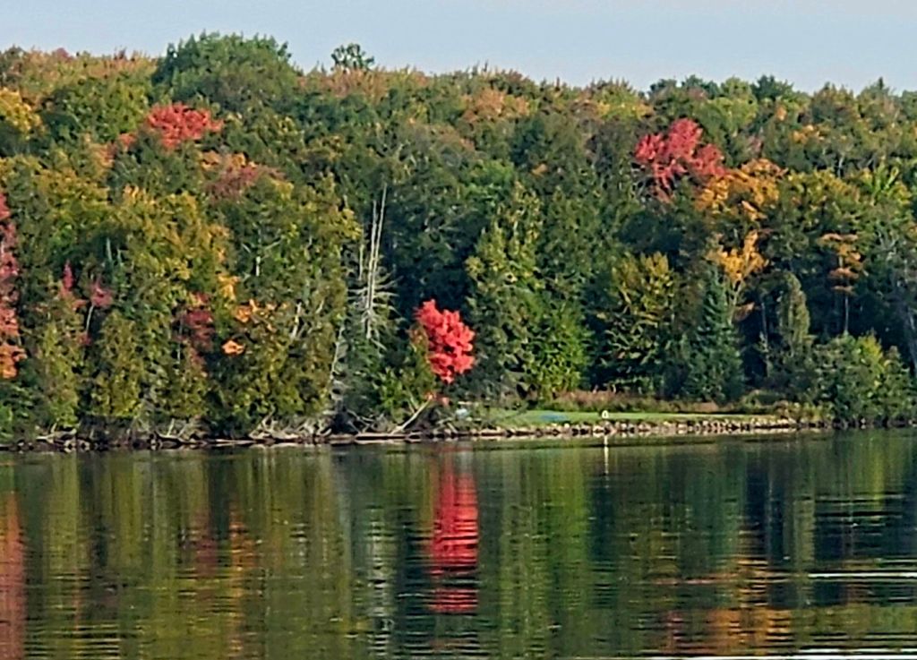
Back on Huron Bay on Sept. 29, colors were just starting to show on the west side. I have to go out in the kayak to see this, and it was warm enough to do that right into October.
One day later, they were showing up more on the east side of the bay.
We saw many calm days in late September, so I was on the water a lot.
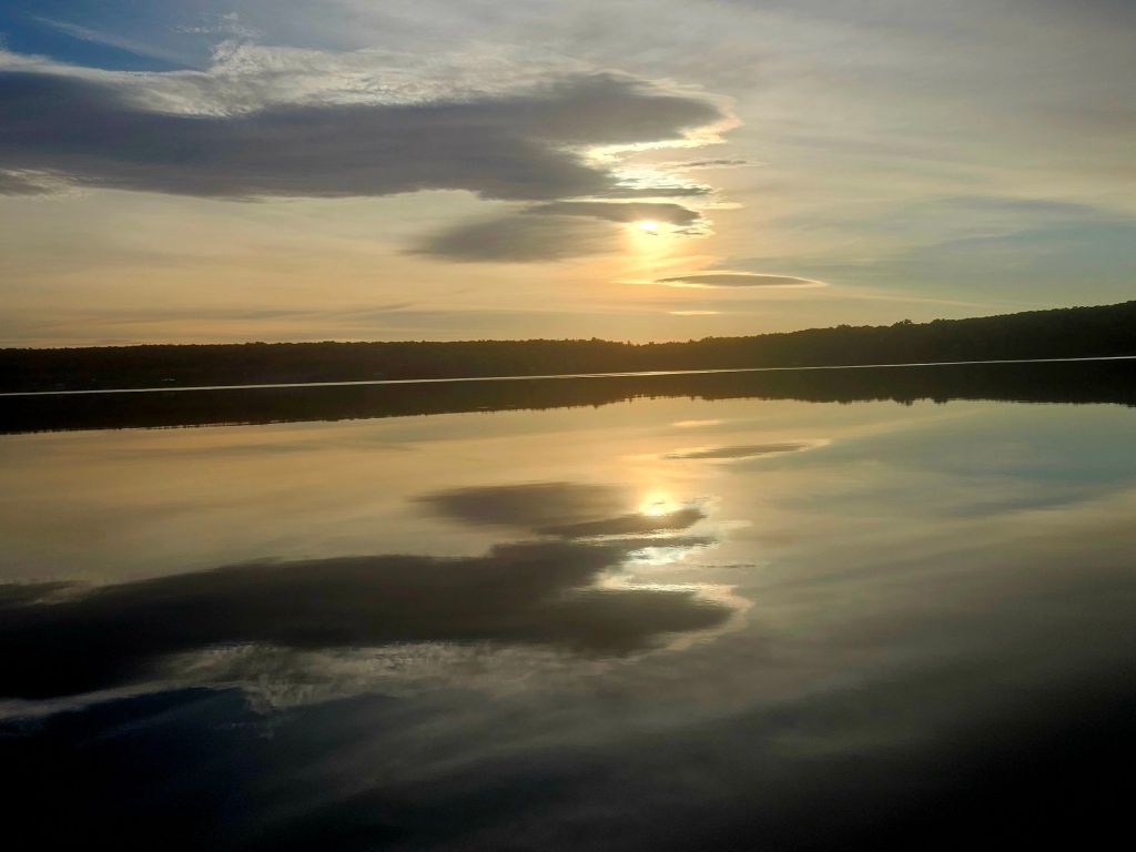
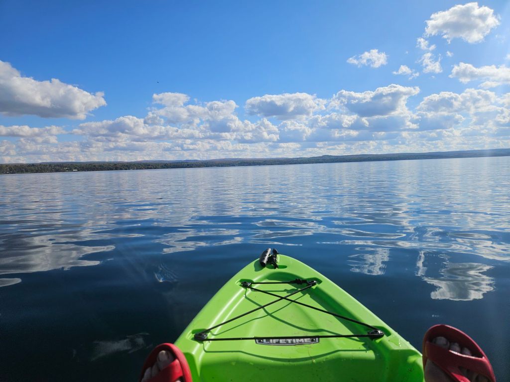
On the last day of September, I paddled on a glassy Keweenaw Bay, about 30 minutes away.
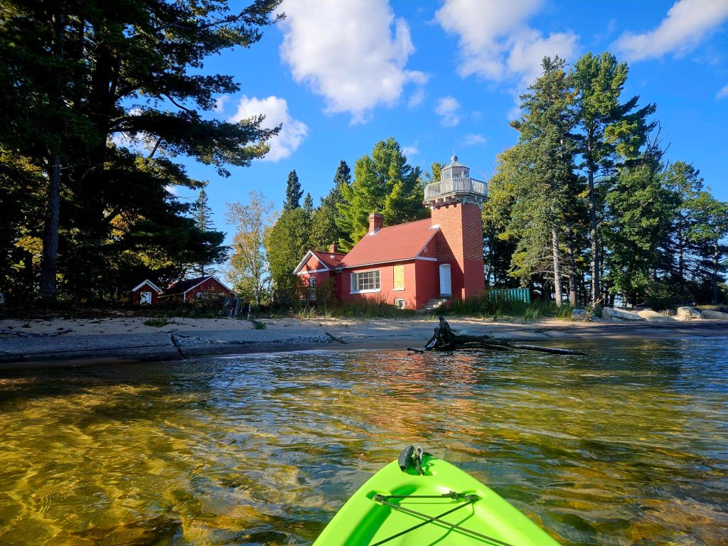
No colors evident here at sea level, but I did pass this colorful lighthouse! Heading into October…
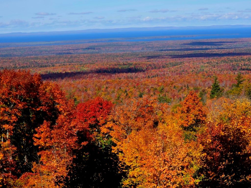
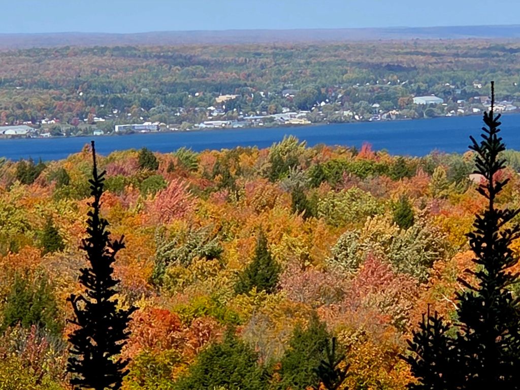
…Wow. This is from the top of Mount Arvon, about 45 minutes away, on Oct. 5. The blue is Lake Superior. You can see the Keweenaw Peninsula (where I was born and raised) on the horizon.
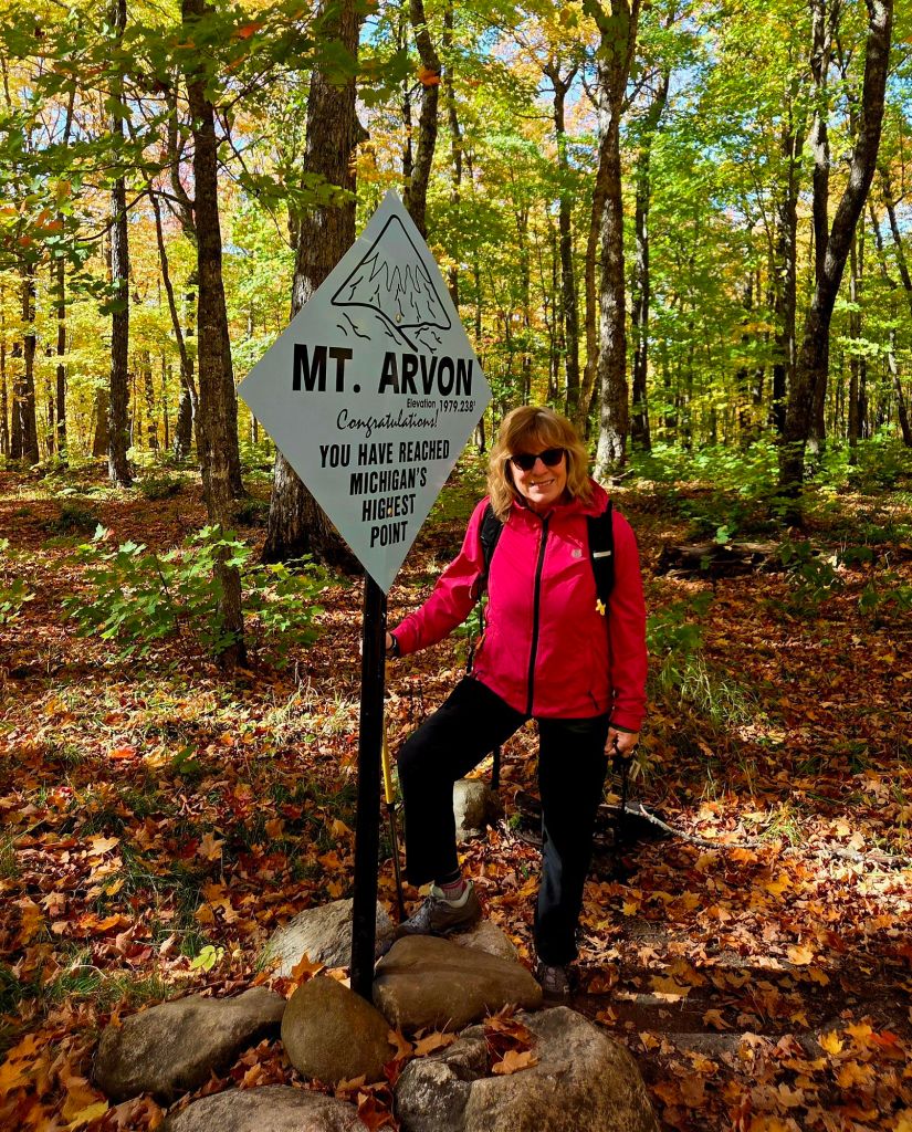
This is the highest point in Michigan, although nearby Mount Curwood competes. (The difference is less than a foot.) Both are about 2,000 feet above sea level.
We got there on foot, though you can drive to the top. If we did that, we would have missed this…
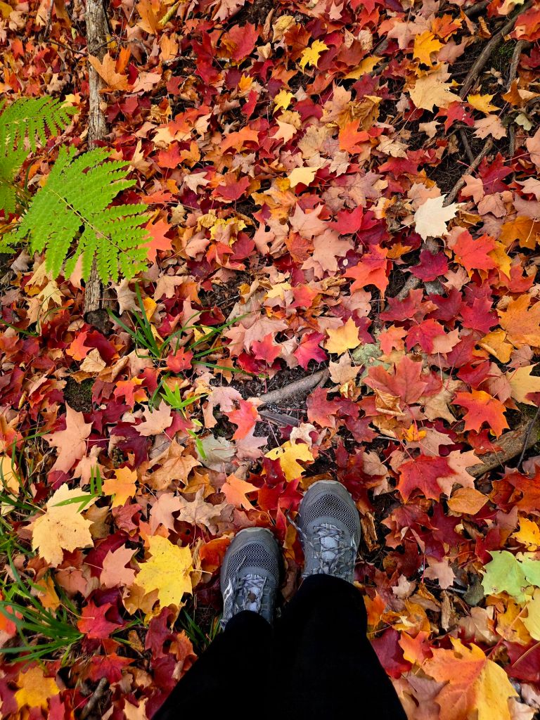
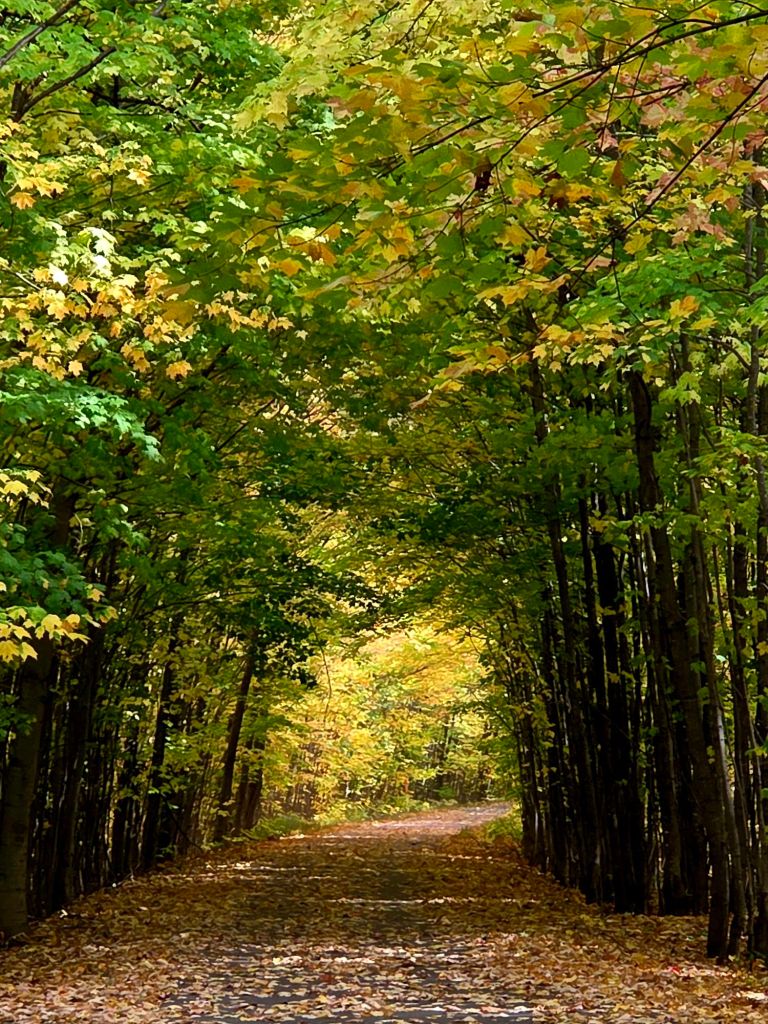
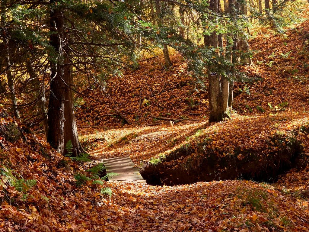
…and the fun of walking on a bed of leaves. (Which makes it tricky sometimes to see the trail.)
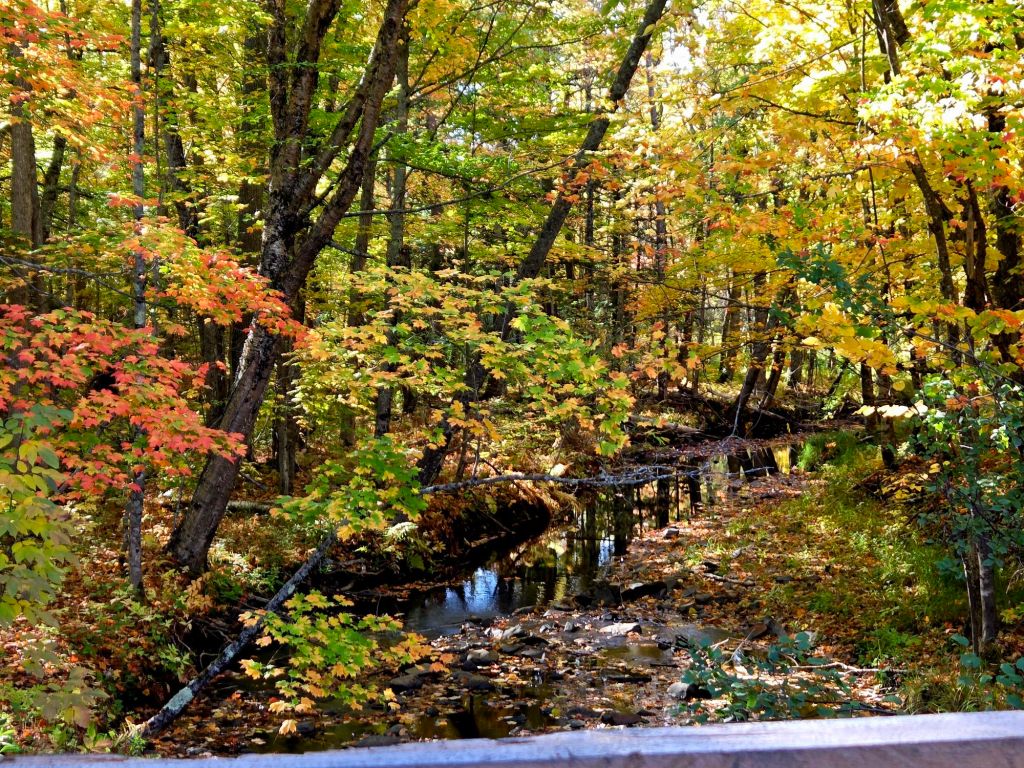
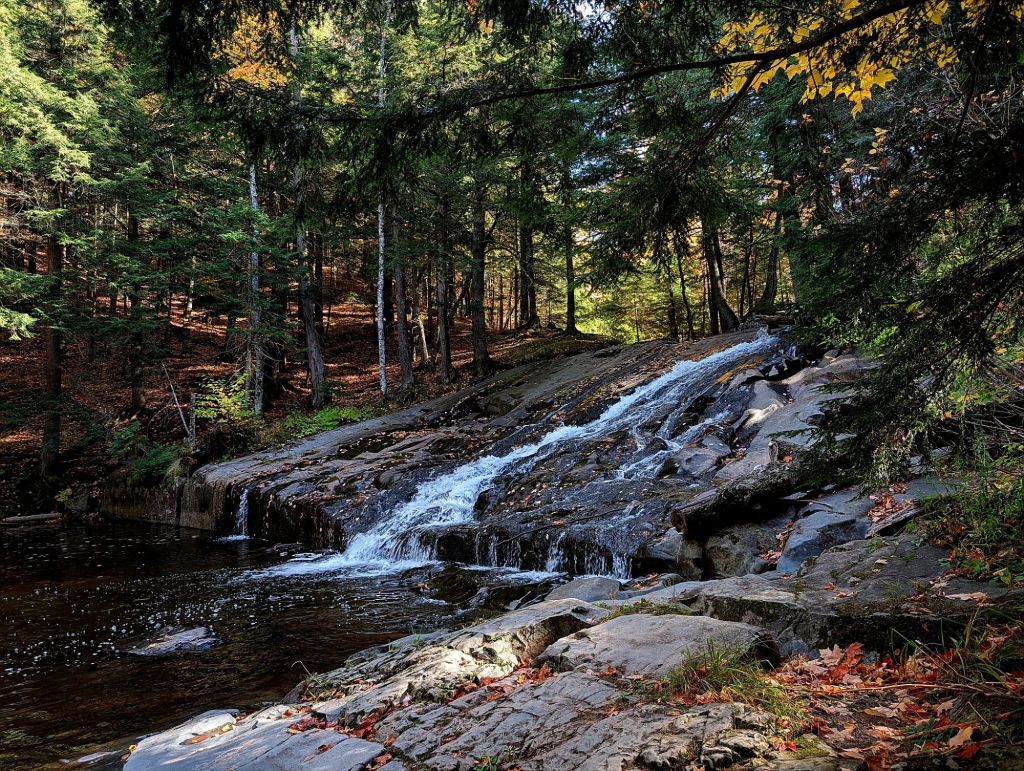
We followed the hike with a stop at a waterfall I’ve never seen before. (There are so many waterfalls up here!) I loved this spot, even though the water was low. What a perfect swimming hole! You can probably ride down those rocks when the water is high! I plan to go back in summer.
The day after trekking Mount Arvon (Oct. 6), we hiked to the top of Little Mountain, overlooking Keweenaw Bay. This is close to home and I’ve been here many times–but never saw it like this.
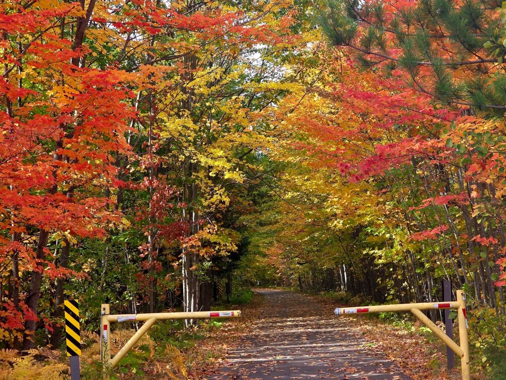
A few days later (October 9th), I was in Marquette, about 80 miles from home. Marquette is on the waterfront, and the colors were peaking there. This is the 43-mile Iron Ore Heritage Trail.
The orange leaves were mostly on the ground, but the yellow ones were hanging on longer. The day after that road trip (to bring my cat to the vet), I was back at Huron Bay…
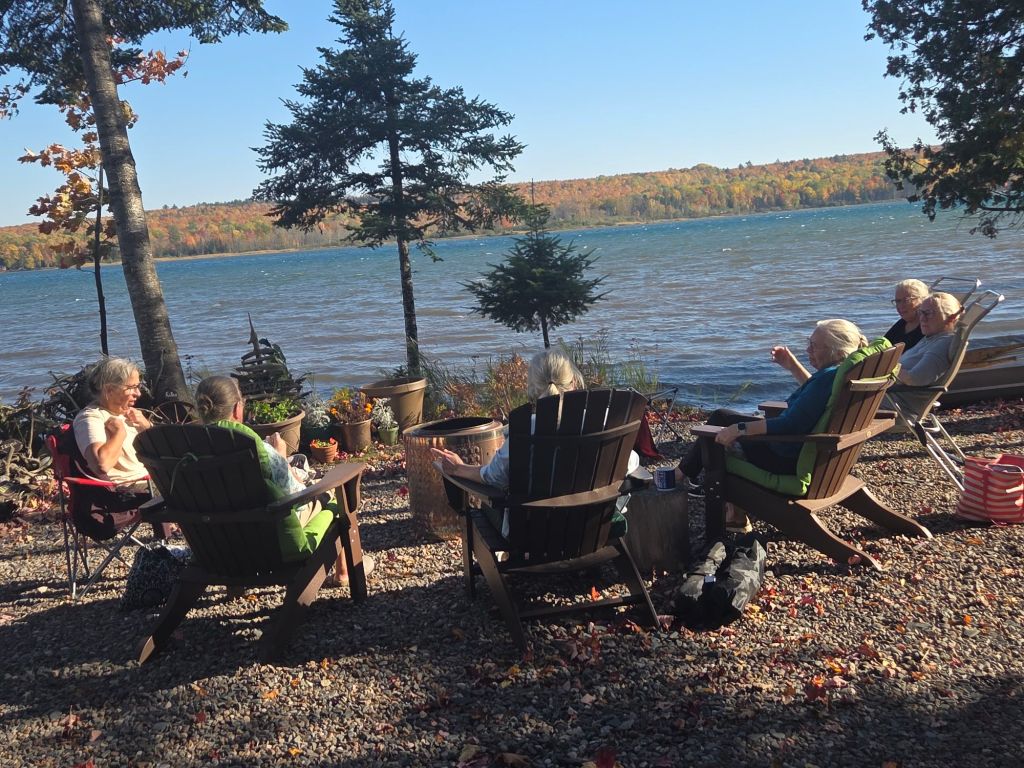
…hosting some cousins to a visit. It was in the 80s! On Oct. 10! So…
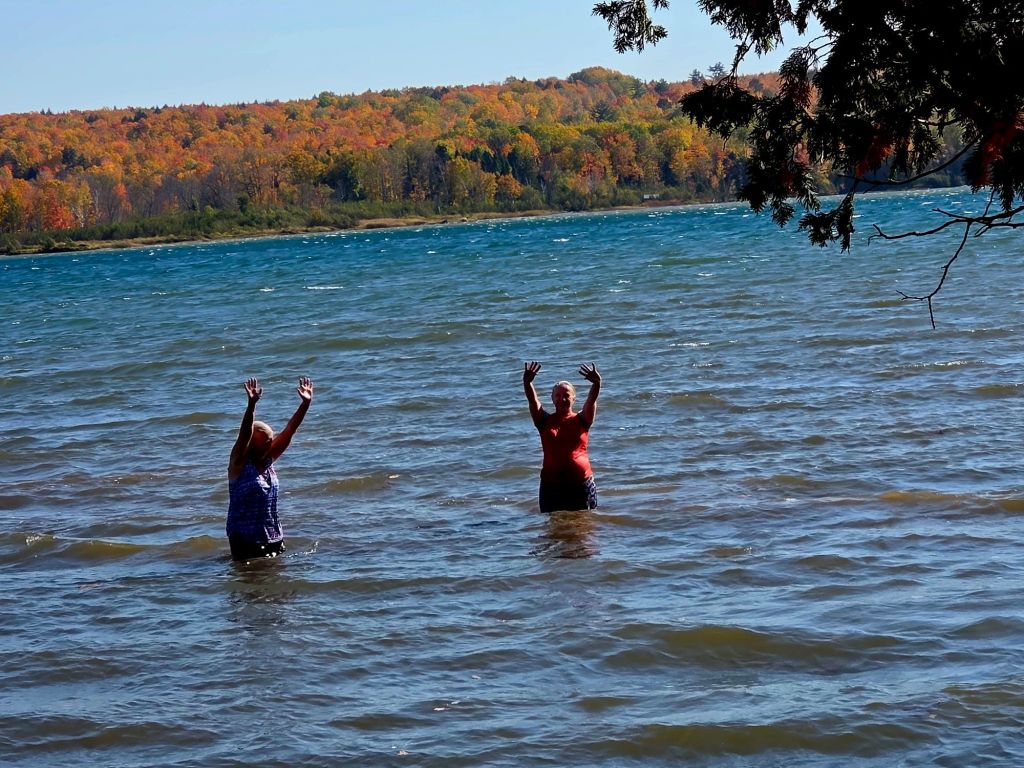
…some of us went in the water. It was quite cold but the air was so warm, it didn’t matter.
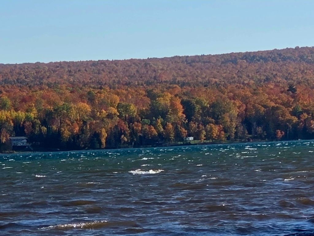
A strong south wind kept up all day so we couldn’t put in the watercraft. (It’s been windy for three days straight. It’s coming from the north now, as I write this on Oct. 12, and much colder.)
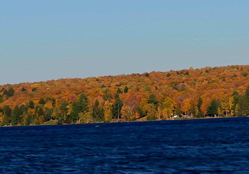
And finally, the full color display across the bay. I know how fortunate I am to have this view. The day after hosting cousins, I was on the road again to find what remains of the color season. Did I mention that we don’t want to miss out when it’s this nice? 😉 So we run around for a few weeks.
So I again joined a group hike in the woods.
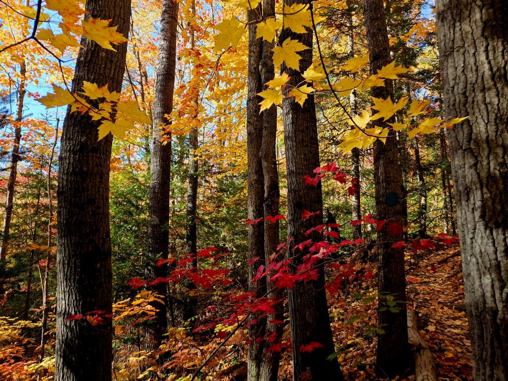
I love hiking in fallen leaves. That swish-swish-swish sound under foot brings memories of childhood.
The colors were still showing off, but it was weirdly hot for this far north on October 11. I overheat easily, so I quit after just three miles (the others went nearly six), and headed to…
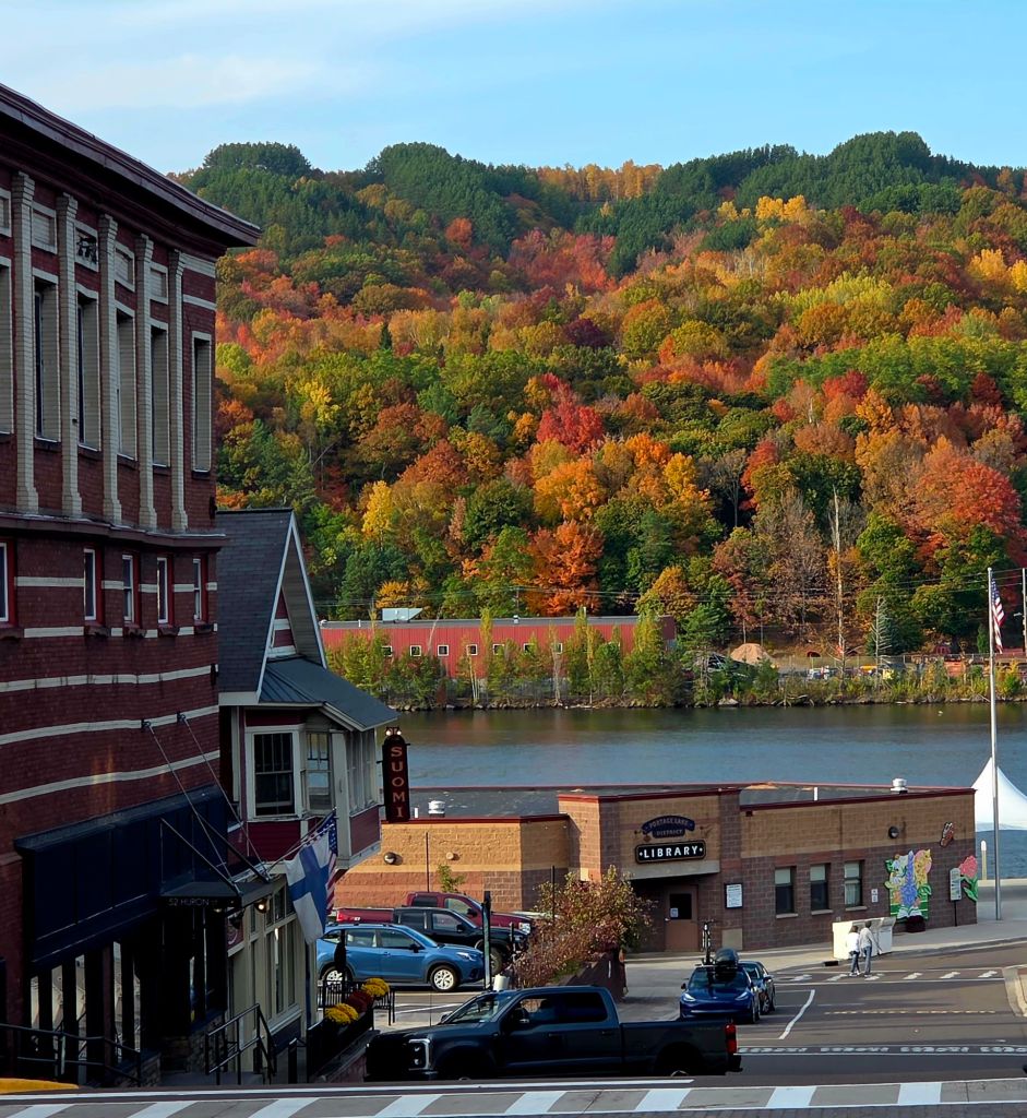
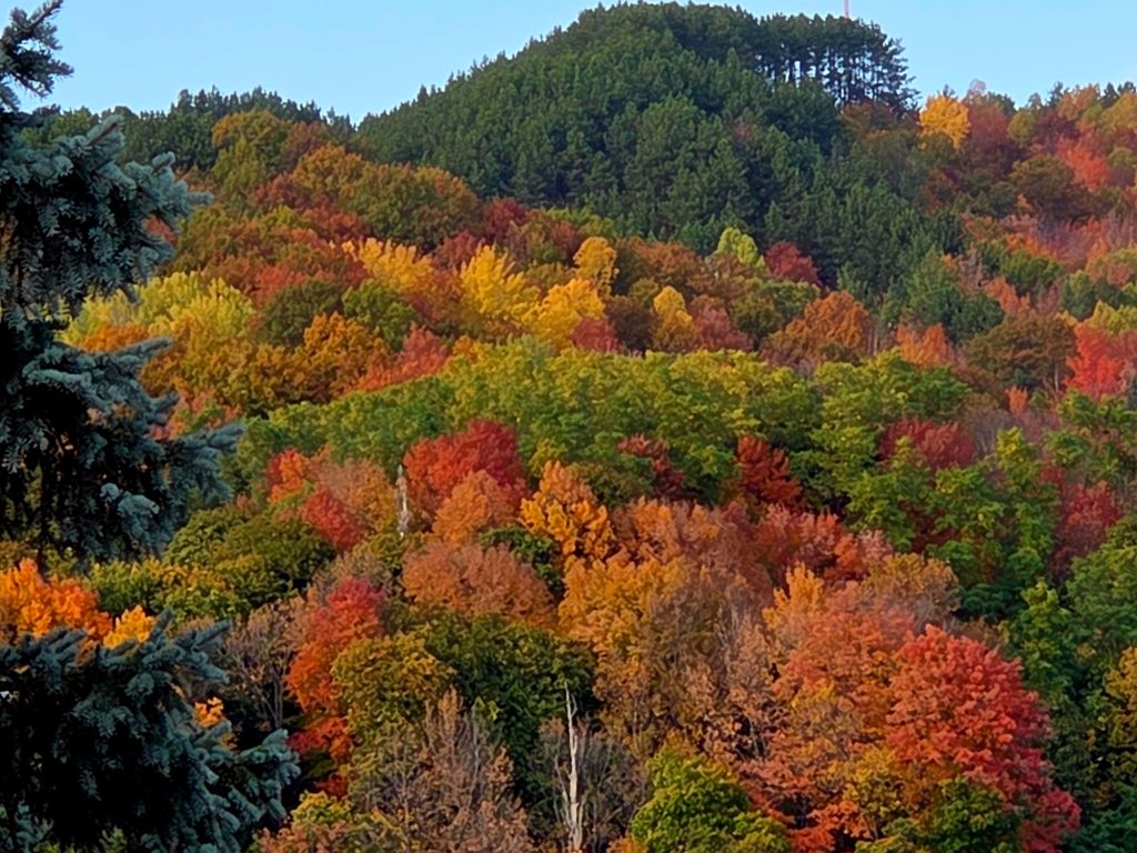
…my hometown to see if it was still showing off. Yes, it was!
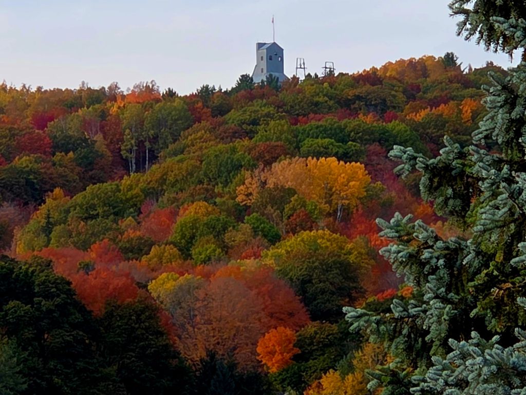
A close-up shows all the colors. This is why people come here from all over the Midwest in October.
I grew up with the Quincy Mine Hoist, on top of that hill — a reminder of the copper-mining past of this region. (Both my grandfathers mined copper here after immigrating from Finland.)
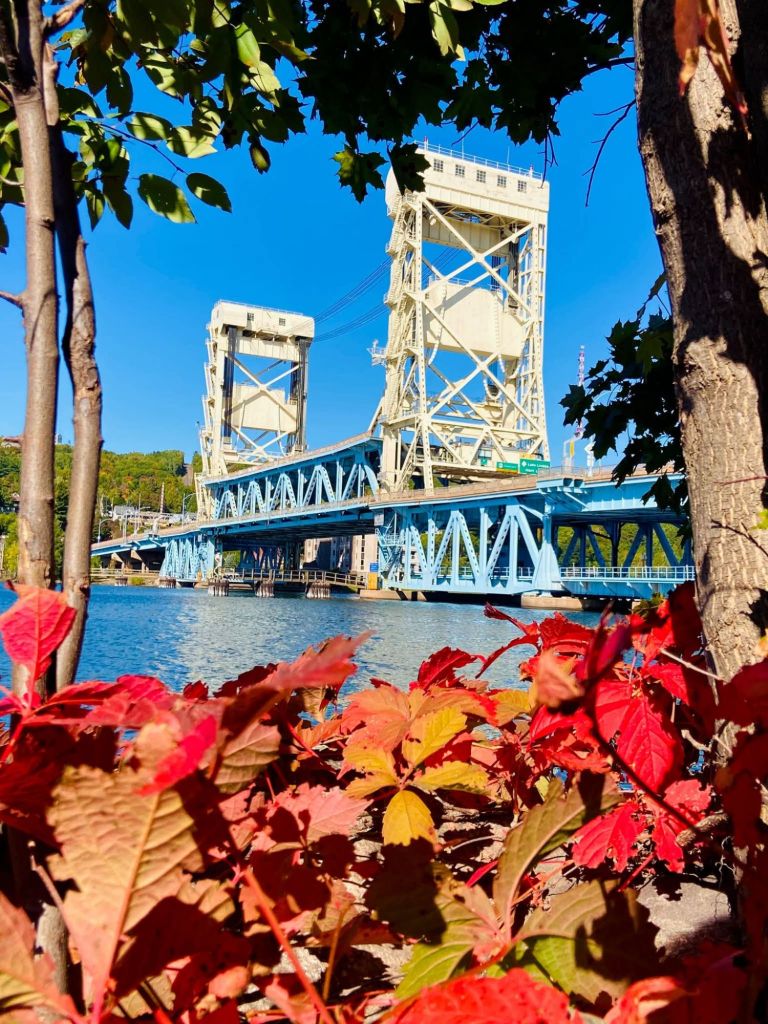
I grew up with this bridge, too. Its center lifts up to allow boats and ships to pass.
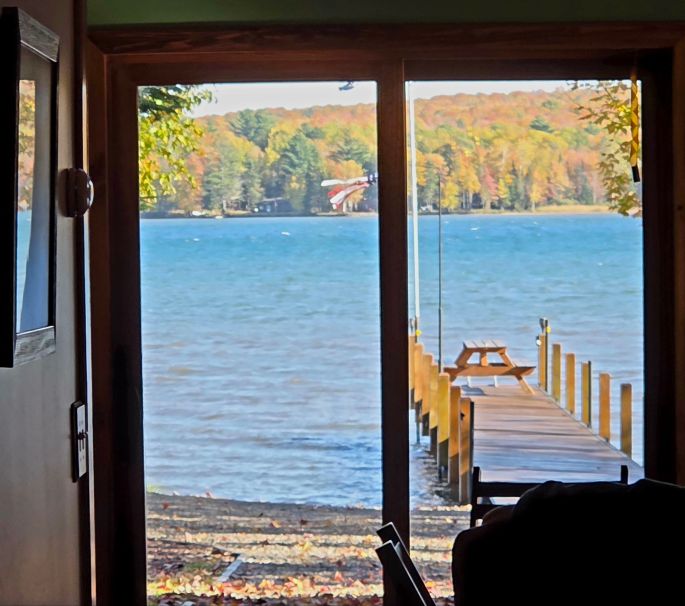
And that’s how I ended up buying this property, and building this place, about an hour from my hometown. I knew this bay from childhood. We went to the water a lot, but didn’t live on it. We weren’t rich enough, or else my Dad didn’t care. Maybe both. Now here I am. This is what you see when as you enter the front door; I “designed” it that way after visiting a waterfront house with this feature. (We really did start this place from scratch.) I want visitors to feel the outdoors even from inside. Do you feel it? 😉 At its best during fall color season, right?
And now, autumn starts to fade here on the 46th parallel. Why do I use that so often? Because it reminds me where I am, and why: for the seasons that this latitude brings. The red line shows the 46th (N) parallel, or line of latitude; i.e., 46 degrees north of the equator. (Remember learning latitude and longitude in school?) Full disclosure: I live between the 46th and 47th parallel, and use them interchangeably. Or so I learned, before AI “told” me! Not that it matters…