Whew. We made it!
We’ve said that many times on this trip, after reaching a particular milestone or the end of a trying day. This is a big one. We’ve gone from the top of the country (near the Canadian border) to the bottom (near the Gulf of Mexico), all at 8 mph. On this last leg, we raced a weather front … and “won.” We are in safe harbor in Mobile Bay, watching the radar send angry red our way.
Whew, again.
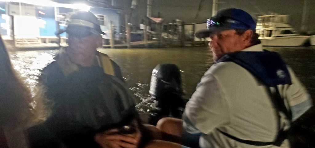
We got under way before sunrise to give ourselves the best chance at beating incoming winds. (You know by now that I dislike rising early, but safety concerns trump my discomfort!) The shallow Tombigbee continued to twist and turn, and we met more barges than any day before. We passed a barge, which then passed us, and encountered many other barges … all these movements negotiated by radio. We watched three barges maneuver around each other, amazed at their skill. We hit something submerged, but no damage done. Our companion boat,War Eagle, hit bottom. As we got further south, it got harder to understand the radio traffic. All this stimulus helped the 63 miles pass quickly, which is good because there wasn’t much to see on this leg.
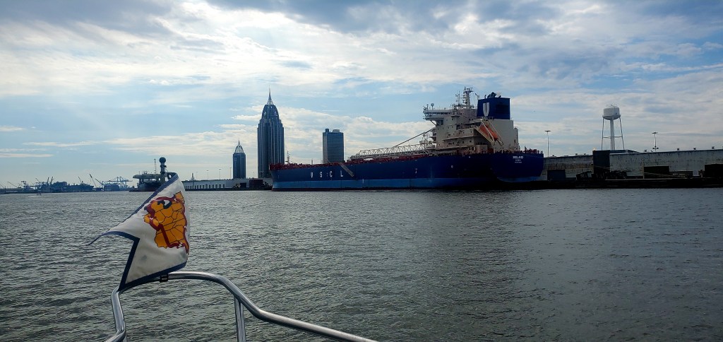
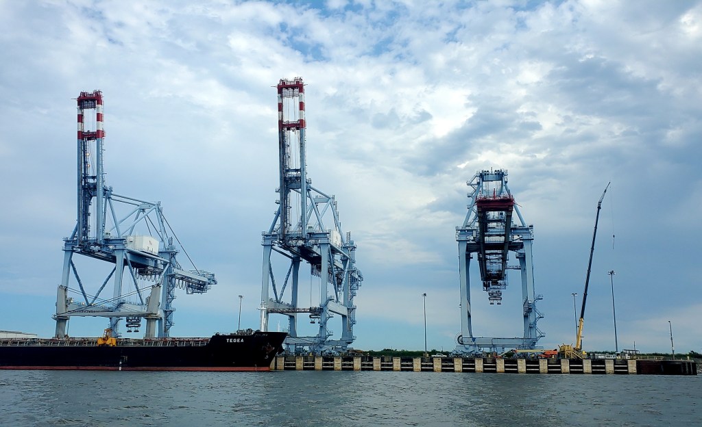
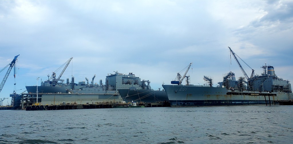
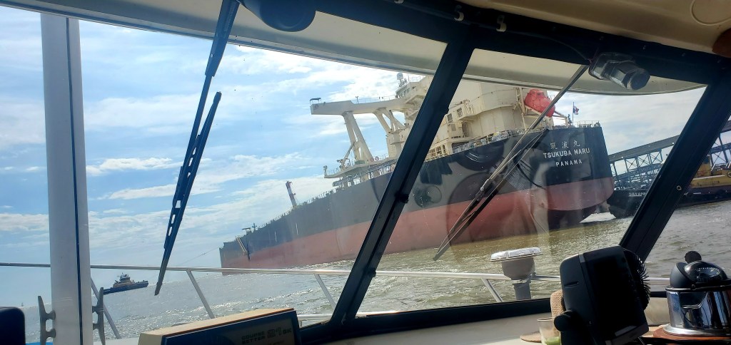
Until we entered the busy port of Mobile, Ala. and arrived in the wide-open Mobile Bay. Lots to see there!
It was weird to enter open water after more than seven weeks on the rivers (and a few lakes). It felt like arriving at the ocean. The choppy water didn’t bother us, since we’re veterans of the Great Lakes, but when the waves came at us from the stern after our turn toward the marina, and shoved us around like a surfboard — that was weird. That last few miles into the marina seemed to take a long time. Isn’t that how it is after a long trip, when you’re dying to “get there?” Time seems to stretch.
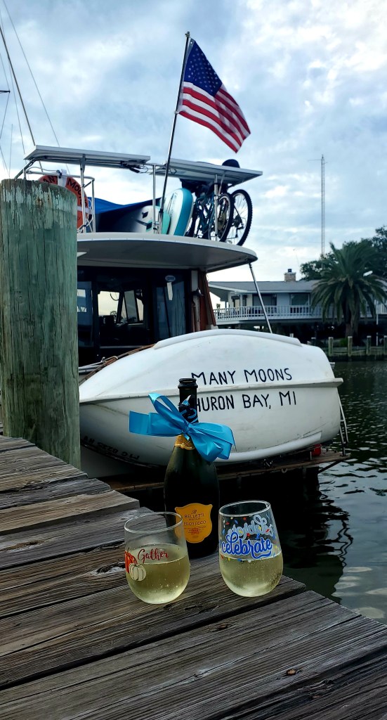
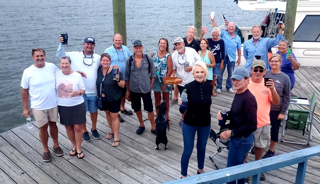
What a relief to tie up at Turner Marina. About 15 Looper boats are battened down near us, all relieved to be secured. Some boats that were headed this way are hunkered down up-river at a protected anchorage, waiting out the wind. We could have done that, too. But I’m glad we’re here.
Photos and captions below.