Many Moons is hanging out for awhile at an “island” which isn’t quite that, just 56 miles south of Annapolis on the western shore of the Chesapeake Bay, at the mouth of the Patuxent River. Solomons claims the designation of “island” because a 20-foot-wide waterway (more like a ditch) separates it from the mainland. Never mind a bit of exaggeration; it’s a charming place, and a hot destination for city folk during the summer. It isn’t hot now, with temperatures lingering in the 50s under a grey drizzle. Hundreds of boats “live” here, but almost all remain at their slips in this first week of April. Trees are just beginning to bud and many places remain closed. We aren’t surprised, as we have moved north much earlier than most Looping boats. Jeff says that we are “trying to make sure that hot weather doesn’t catch us.” We are succeeding at that!
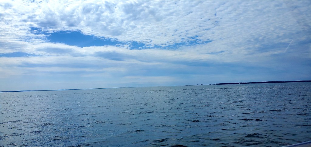
We’ve arrived in Maryland, the 14th state on our journey. On the 45-mile cruise from Reedville (Va.), we passed the 11-mile-wide mouth of the Potomac River and strongly considered going up it — but didn’t. We passed by Tangier Island, which is slowly sinking; it’s not yet open for the season, so I’ll have to make that trip on my own. We passed Point Lookout, where a Confederate POW camp once stood…and where I stood, several years ago, contemplating the consequences of war. We also passed strange fields of sticks in the bay. We had a blessedly calm cruise and a very calm night, anchored in a protected cove, where we made an evening visit to a fabulous waterfront home.
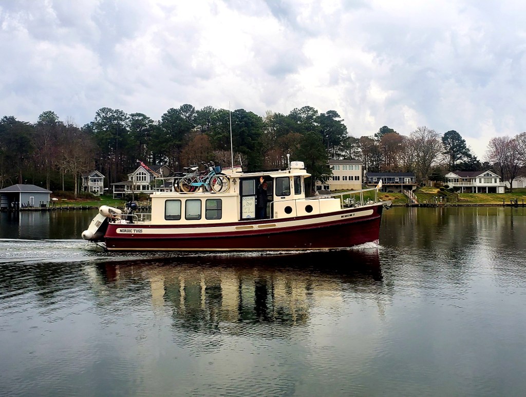
Our boating buddy for several days, Yooper Too, rejoined us for the day and night but has moved on to her spring/summer home, one day’s cruise north of here. She will be put “on the hard” — i.e., parked on land — while her skipper returns to Michigan, where he runs charter cruises on Lake Superior. He’ll return to his boat, and The Loop, at some future date. As we hear the Canada geese honking their way north, we wonder if we should be heading north also. I’ve been investigating long-term marinas where Many Moons can sit still for awhile, but the rest of The Great Loop is calling to Jeff already. After just one day here, he’s imagining heading north…past Annapolis and Baltimore and New York City, into the Hudson River of New York State, and on to the Erie Canal. Me? I’ll soon be at home, just 65 miles from here, to do my taxes and prepare for a trip to Egypt.
Will Mary and Jeff go their separate ways again, at least for awhile? Stay tuned! As always, photos and captions below.
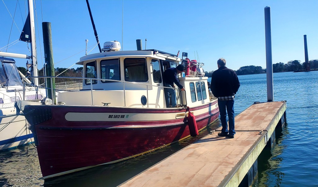
At Jennings Boat Yard in Reedville, Yooper Too pulled in at mid-morning to have a look around after spending the night elsewhere. We left together shortly after noon to head up to Solomons Island.
As we pulled out of Reedville, we passed this pelican “convention.” Hundreds of them, I think!
Crossing the mouth of the Potomac River. It’s 11 miles wide here but only 1/4-mile wide where it passes near my house and past Washington D.C.
Heading up the Chesapeake, we passed several “fields of sticks.” The chart didn’t identify what they are. Possibly some fishing mechanism, maybe? In any case, we knew enough to avoid them.
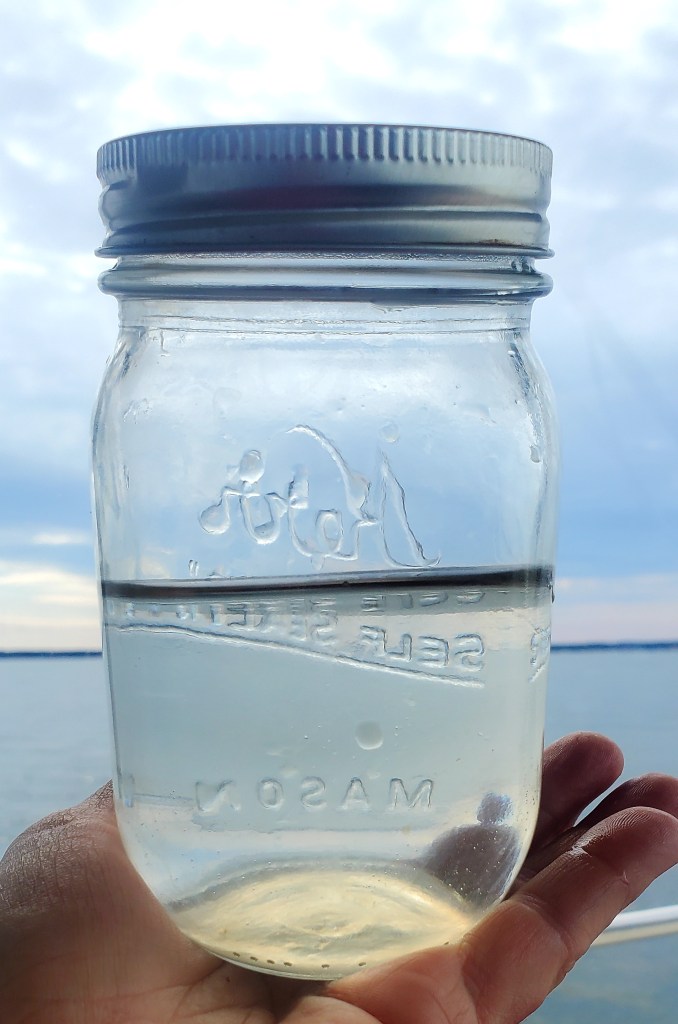
After weeks of brown water, we are delighted that the water of this bay is so clear.
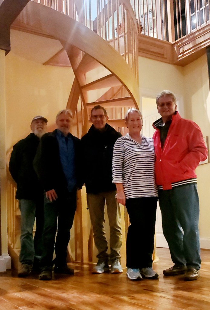
I contacted the Solomons Island Harbor Hosts – locals who are designated by the American Great Loop Cruisers Association (AGLCA) to support visiting Loopers – for advice on anchorages. They said “come anchor in front of our house!” And later, they added, “stop in with your dinghies for a visit!” So we did. Here, Brian and John from Yooper Too disembark from their dinghy onto our hosts’ dock.
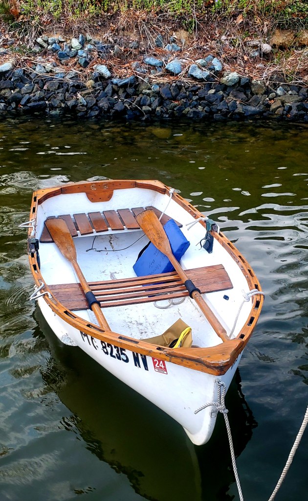
We tied our own dinghy close to shore. She looks a little beat up, after riding on the back of Many Moons through 4,300 miles and 13+ states!
Doug and Suz gave us a tour of their fabulous, custom-built home on the waterfront. I’m bummed that the photo is fuzzy but wanted to use it anyway, to show their beautiful home.
The sun broke through the clouds briefly as we prepared to pull anchor this morning.
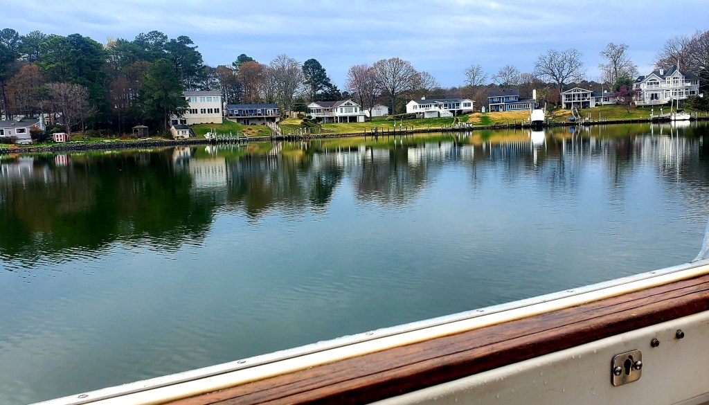
We waved good-bye to Yooper Too as she left our anchorage and headed north while I looked for a marina to spend a few days.
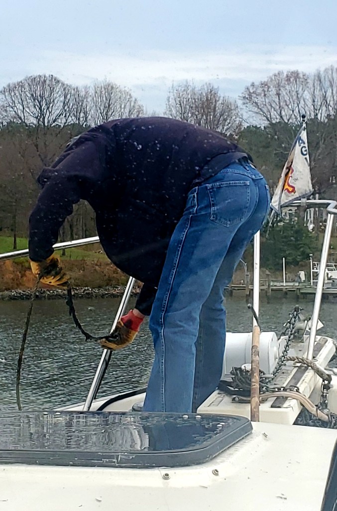
Jeff found lots of muck on the anchor and line. (I took this photo through the front windshield. Because our two-anchor system is so heavy, I take the helm during anchoring operations while he’s on the bow.)
“No-wake” zones are common, but this is the first speed-limit sign we remember seeing; 6mph, max, on the waterways of Solomons Island.
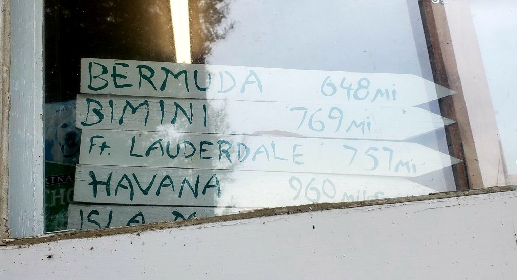
We chose Calvert Marina for its reasonable price and easy access. It’s friendly and efficient, but somewhat rough–as you can see. (Mileage signs to desirable destinations are fairly common at marinas and resorts.)
I love this marina’s well-stocked bookshelves, ready for browsing.
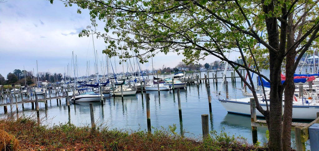
Many Moons is at the top of this pic, at Calvert Marina in Back Creek of Solomons Island.
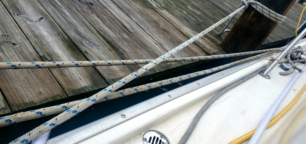
The tide is only a foot here – much easier than those 7-8 foot tides in Georgia! – but we still use spring lines to keep the boat from banging into the dock or moving far from it.
Electricity is metered at many marinas here, especially those that don’t cater to transients, vs. the $5/day (for 30amp) that we pay when it’s not included in the slip price.
We took our bikes out for a long ride around town on a gray afternoon.
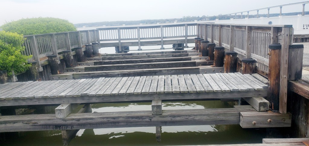
This small waterway is what makes Solomons Island an “island.” The waterway is covered with boards, but you can’t walk on them. Puzzling.
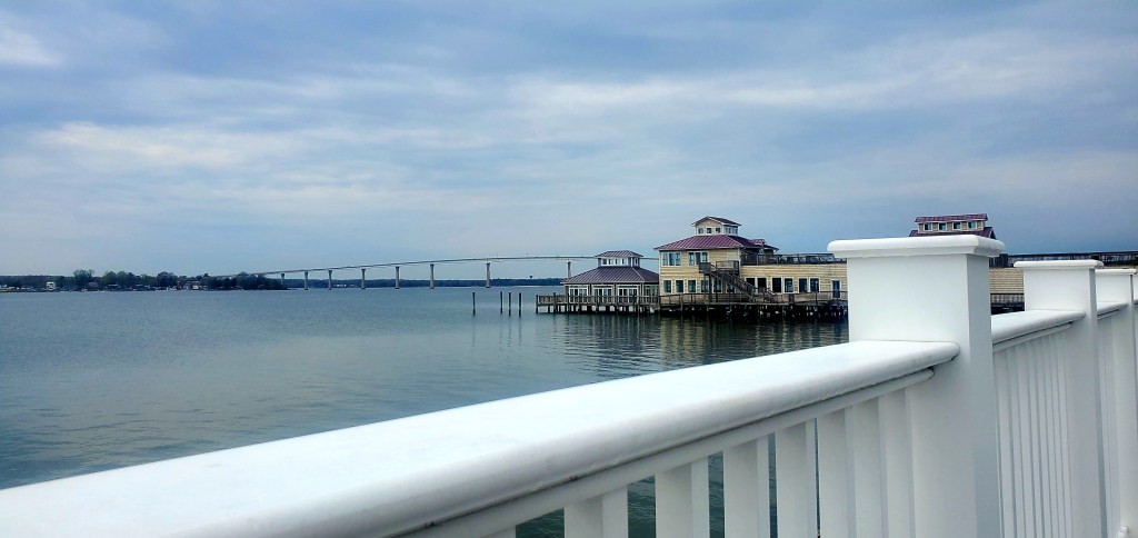
The Solomons Island waterfront is packed with tourists in summer, but not now. Behind the pier, you can see Thomas Johnson Bridge crossing the Patuxent River. It’s 150 feet tall, to allow Navy ships to pass underneath. Naval Air Station Patuxent is on the left side of that bridge. (I’ve gone sailing from there.) We can hear Reveille and Retreat on the base loudspeakers from our marina a few miles away.
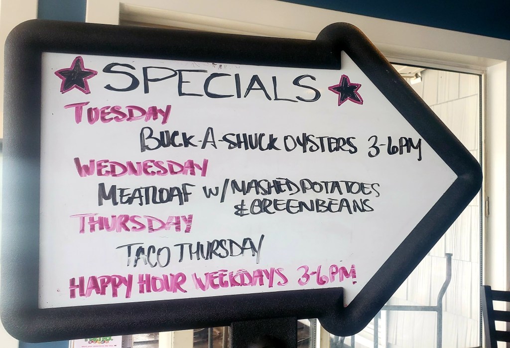
The Drum Point Lighthouse at Calvert Marine Museum.Since this town is named for an oyster packer, we thought we should try some and found this “buck-a-shuck” opportunity. We love a deal, but took one look at the raw oysters, and …. naw, not in the mood. 😉
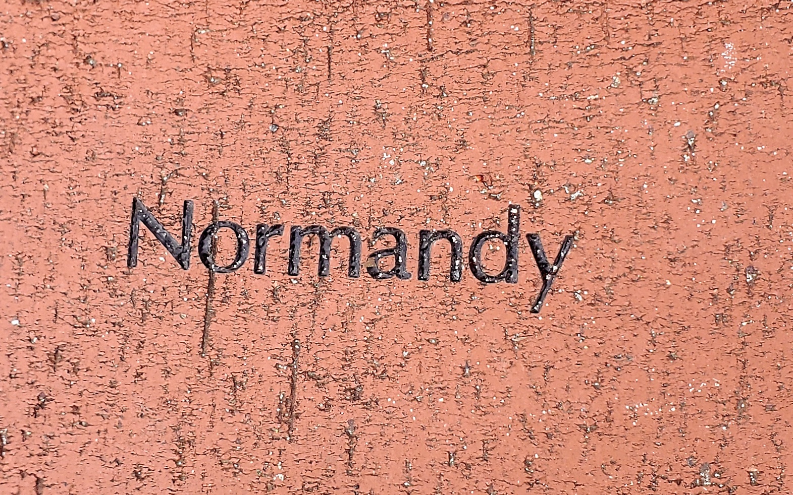
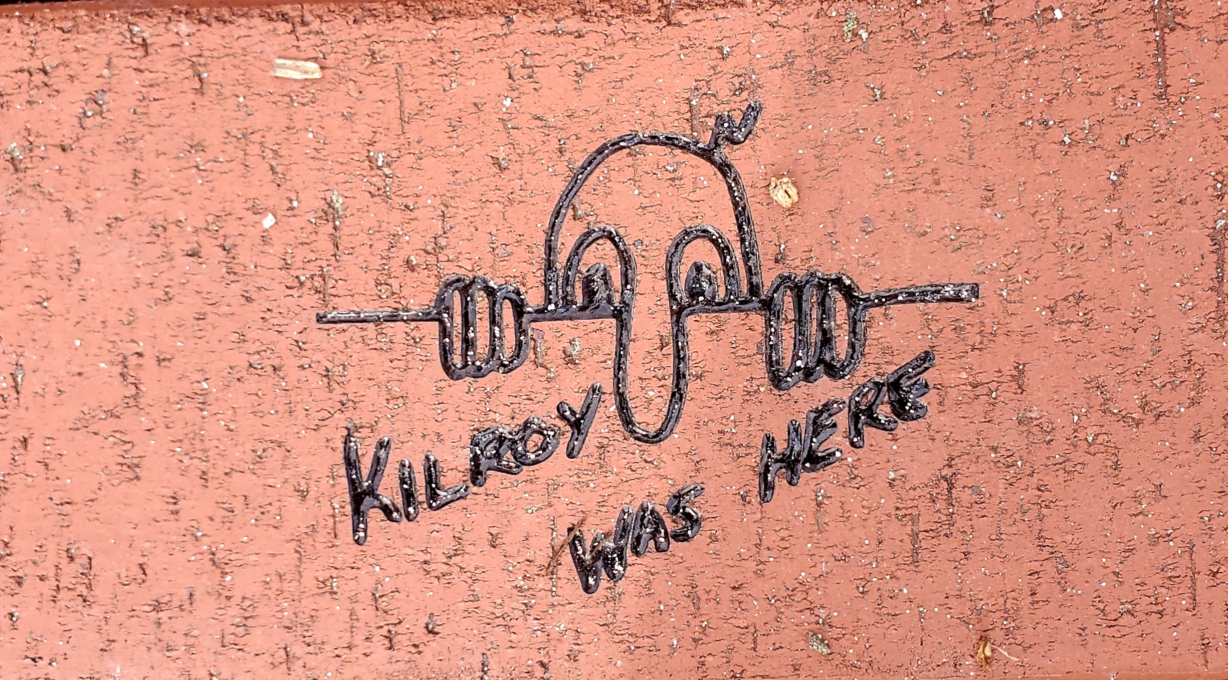
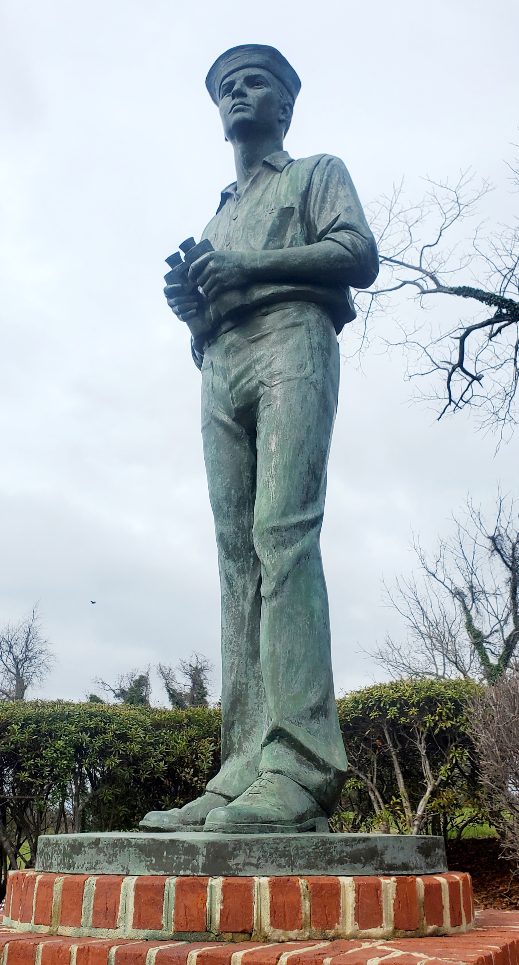
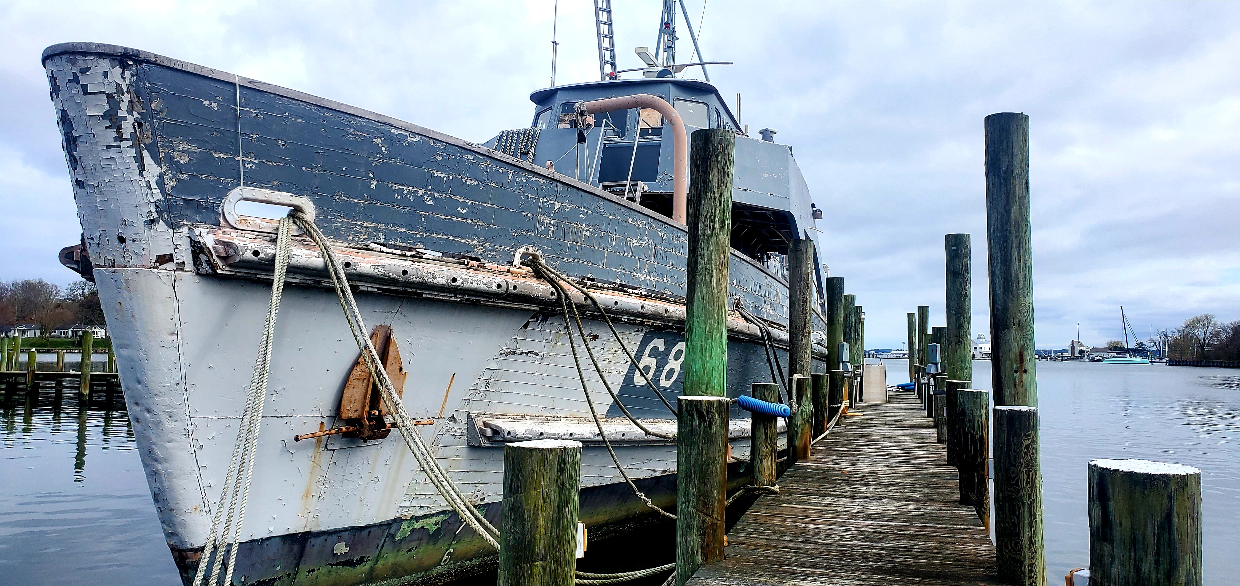
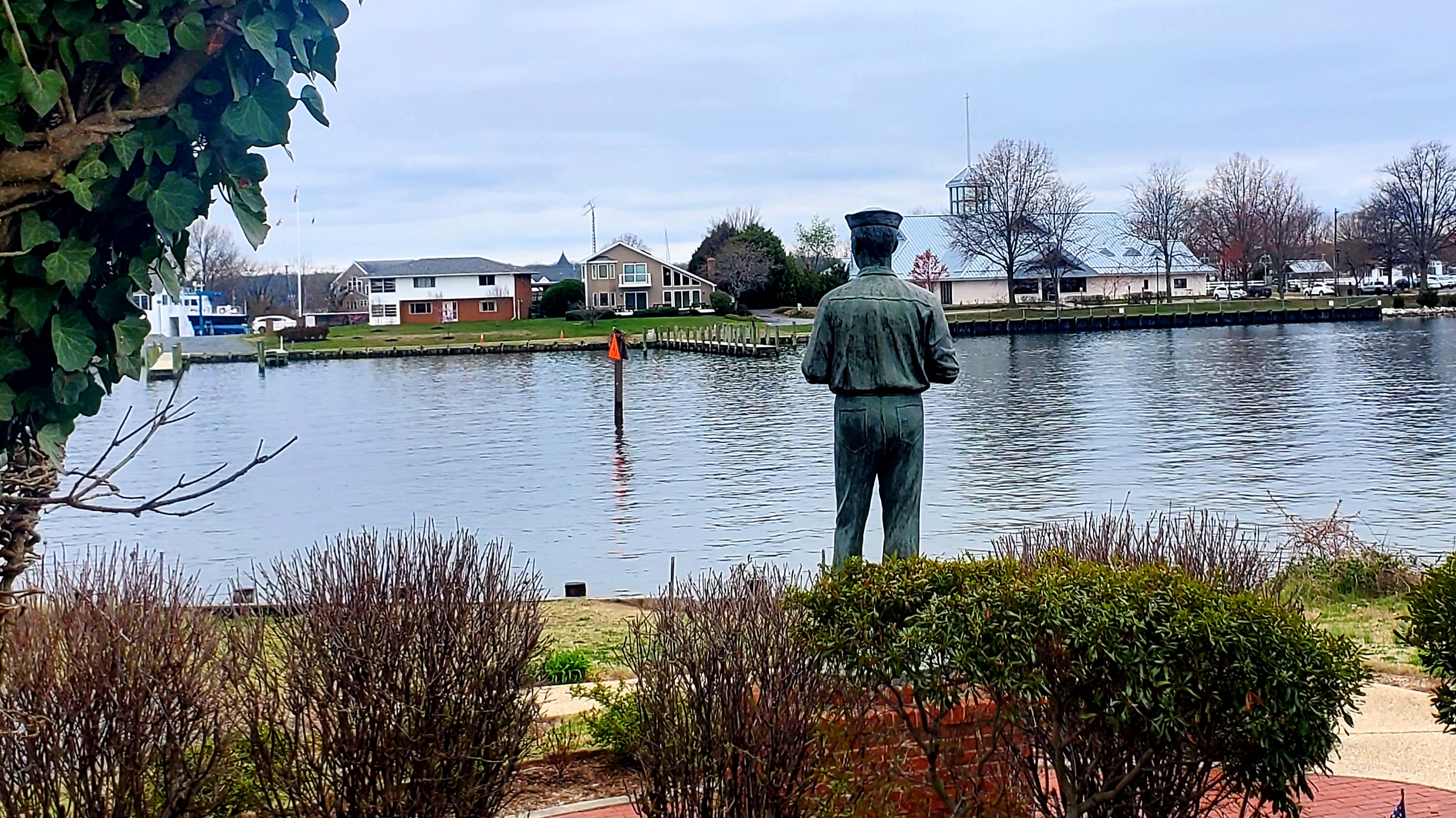
The tiled gallery below shows images from the “On Watch” memorial just a mile from our marina, recognizing the WWII-era Navy Amphibious base that trained 68,000 GIs for the D-Day landing. I’ve been here before, when I rented a waterfront cottage at the nearby Navy Recreation Center, and it was cool to bring Jeff here. It reminded me again of my work in Normandy during the D-Day 50th Anniversary events. So many rich Navy memories! We heard today that the decrepit ship was sold recently for $5,000.
Those “Speed Limit 6” buoys are common in narrow or busy areas of the Chesapeake. They make so much more sense than the “Slow Speed, Minimum Wake” signs common in FL.

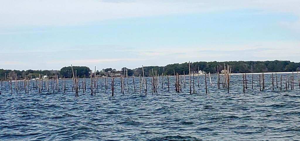


Those fields of sticks are fish weirs. https://en.wikipedia.org/wiki/Fishing_weir
LikeLike
Thanks!
LikeLike
Those “Speed Limit 6” buoys are common in narrow or busy areas of the Chesapeake. They make so much more sense than the “Slow Speed, Minimum Wake” signs common in FL.
LikeLike
Roger that, Mike!
LikeLike
Did Yooper Too have previous owners?
LikeLike
I’m sorry, I don’t know. I wonder why you ask? (I probably can find out.)
LikeLike